Month Long Road Trip (July/August 2020)

TexasTJ

Well-known member
Well thanks to COVID I wasn't able to cross the Canadian border, but I had a month of vacation scheduled, and I wasn't about to stay at work.

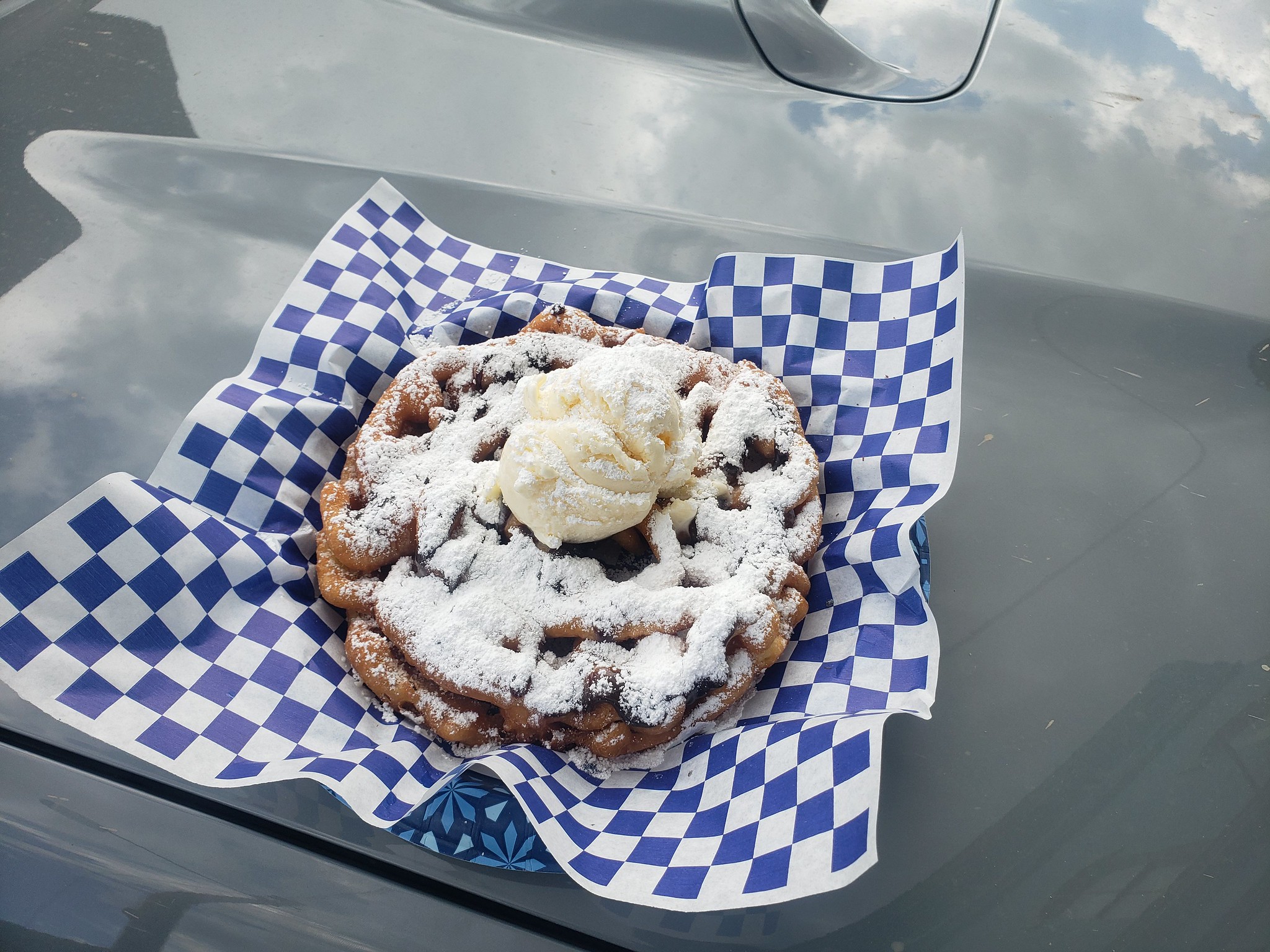
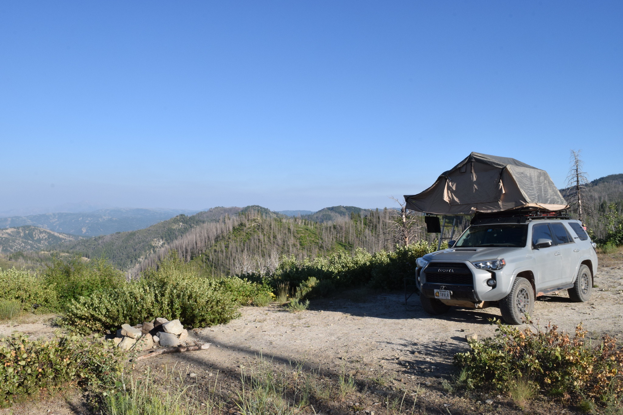
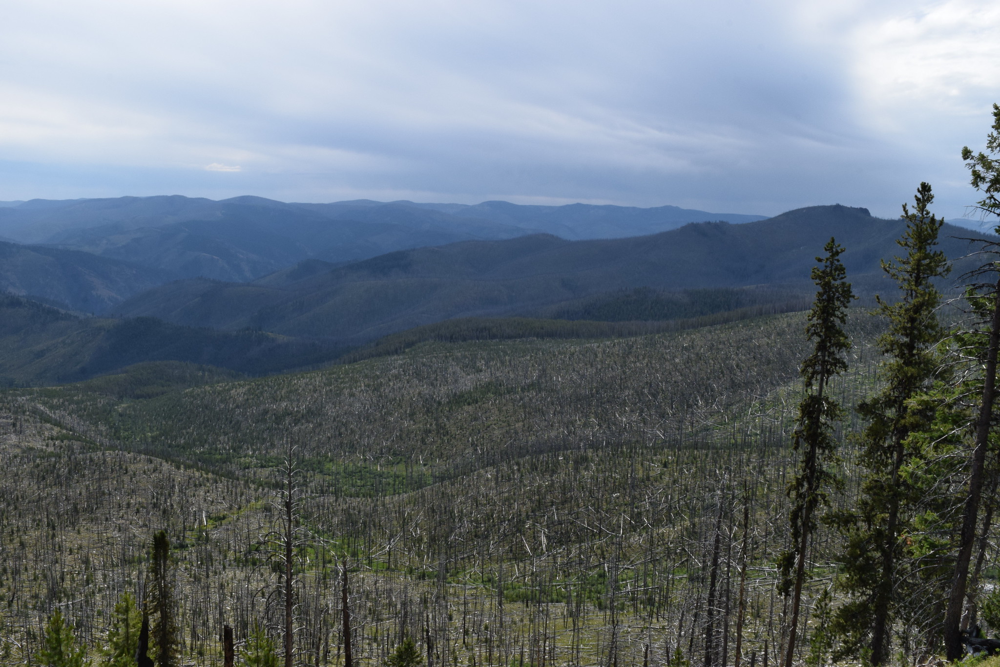
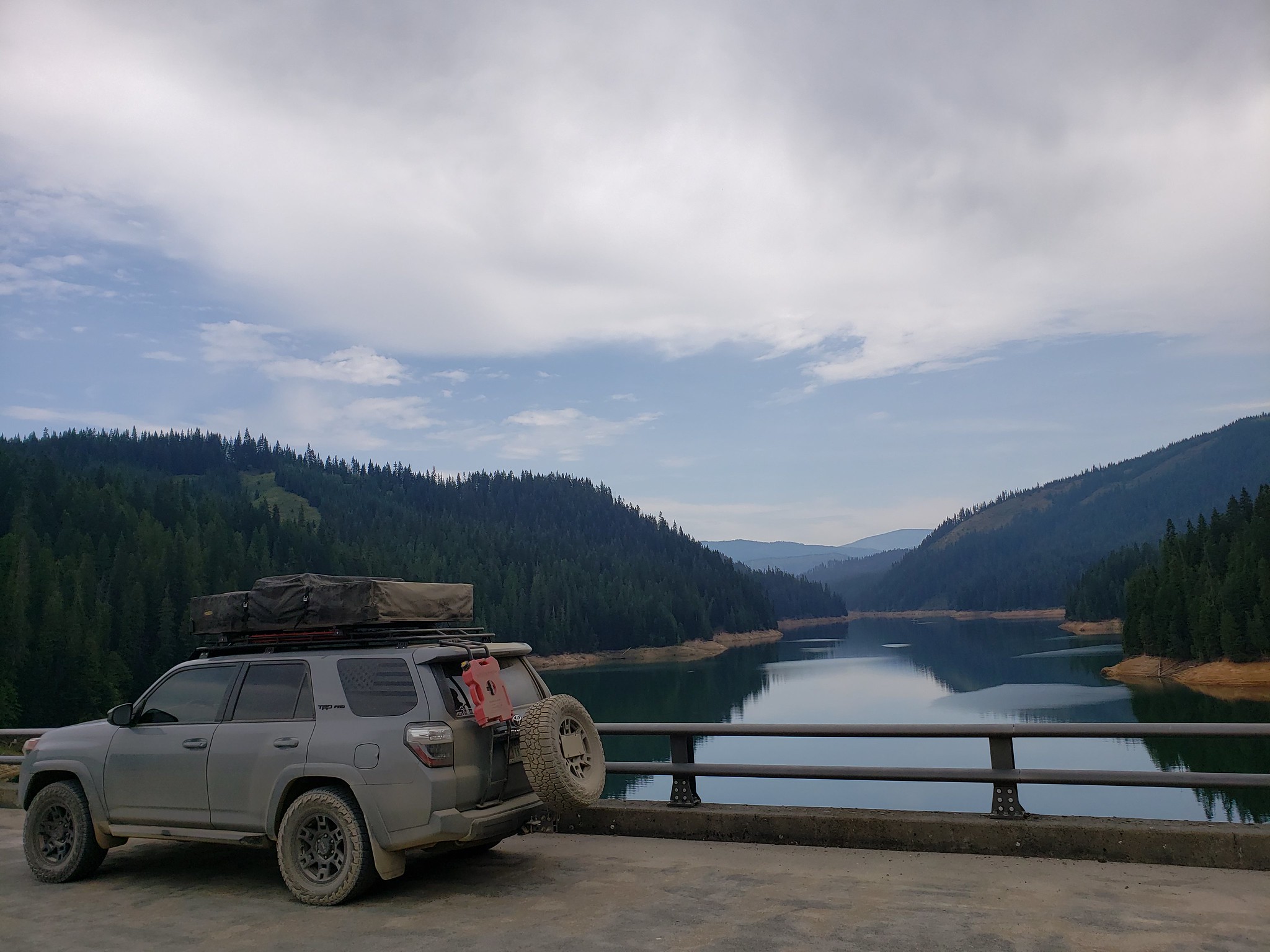
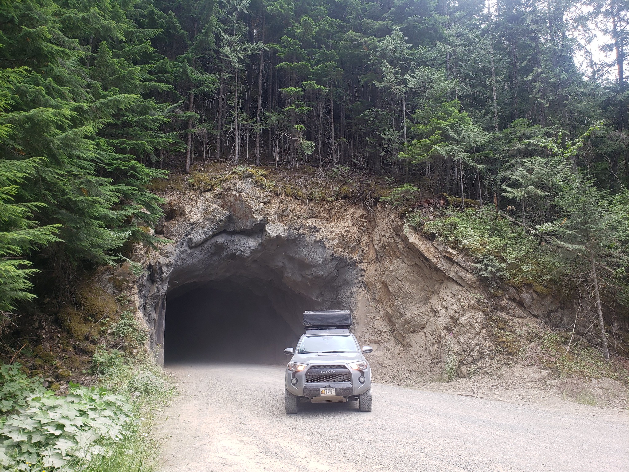
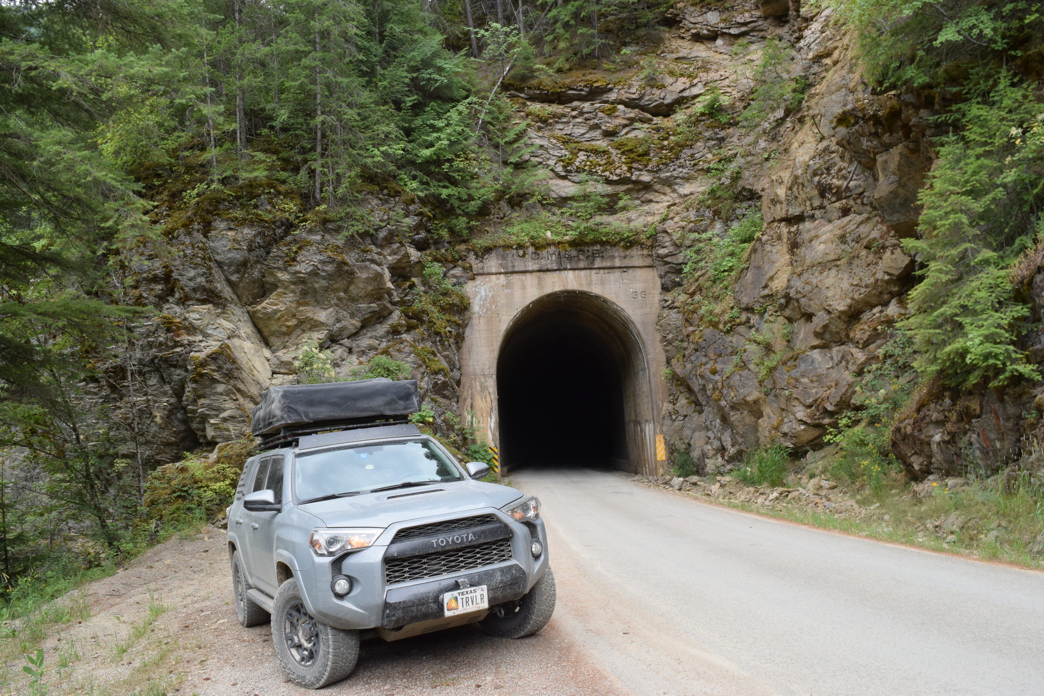
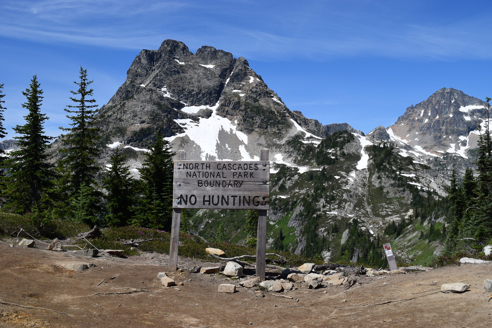
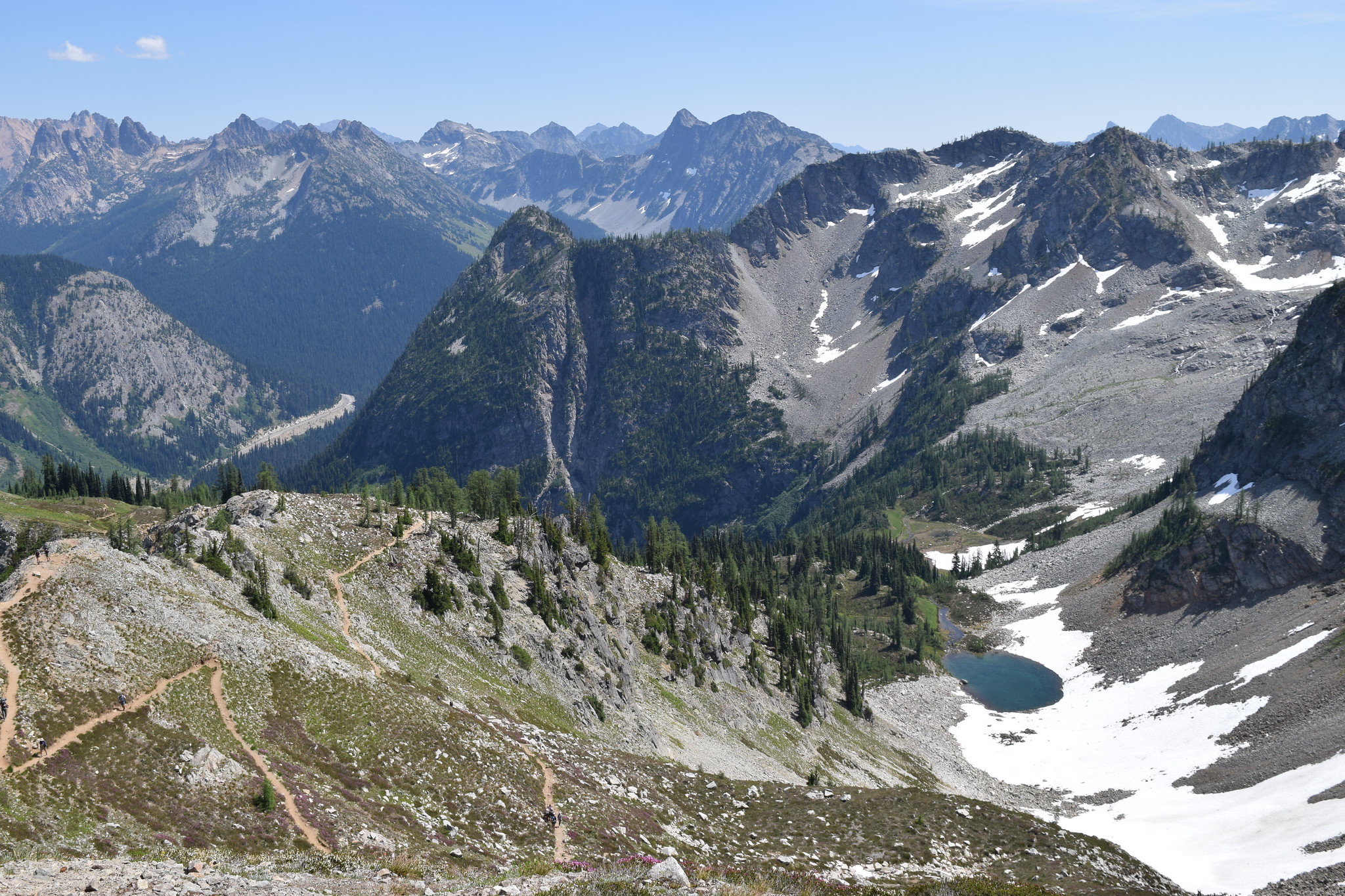
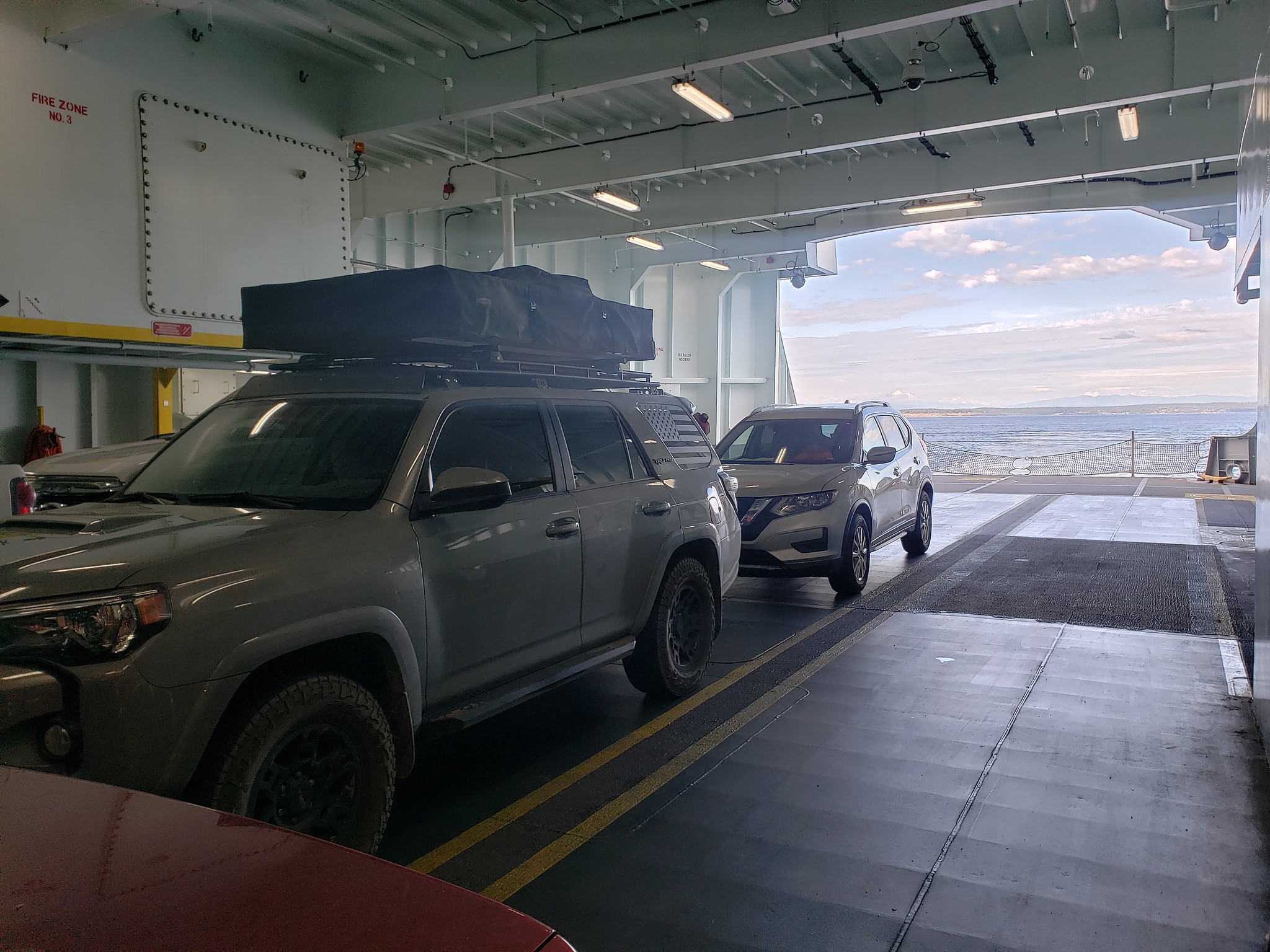
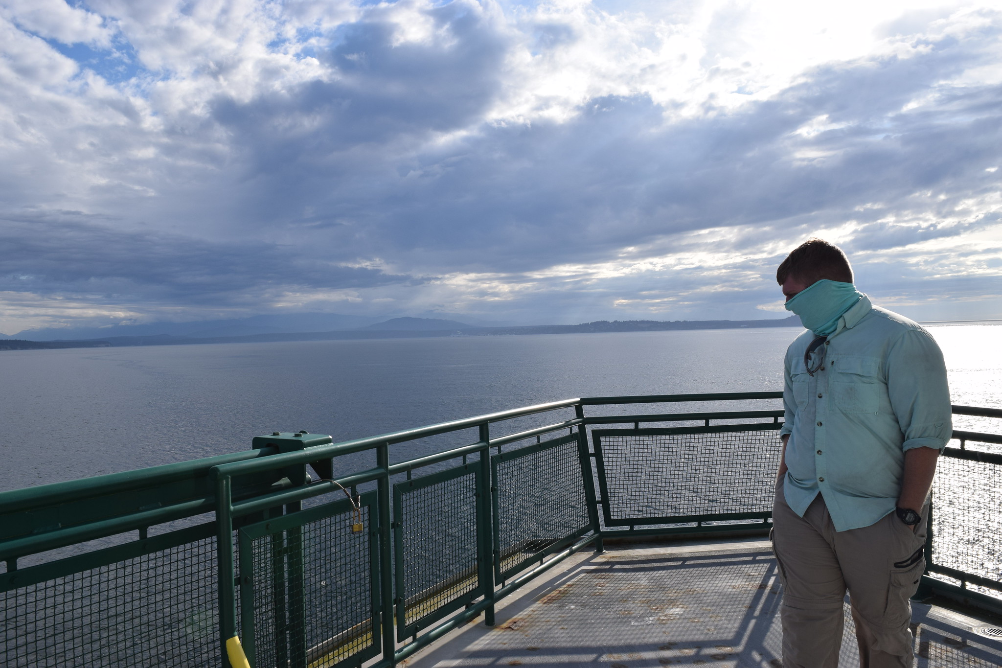
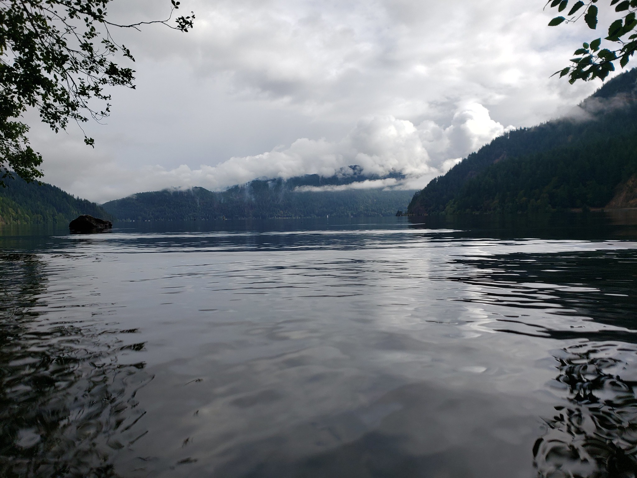
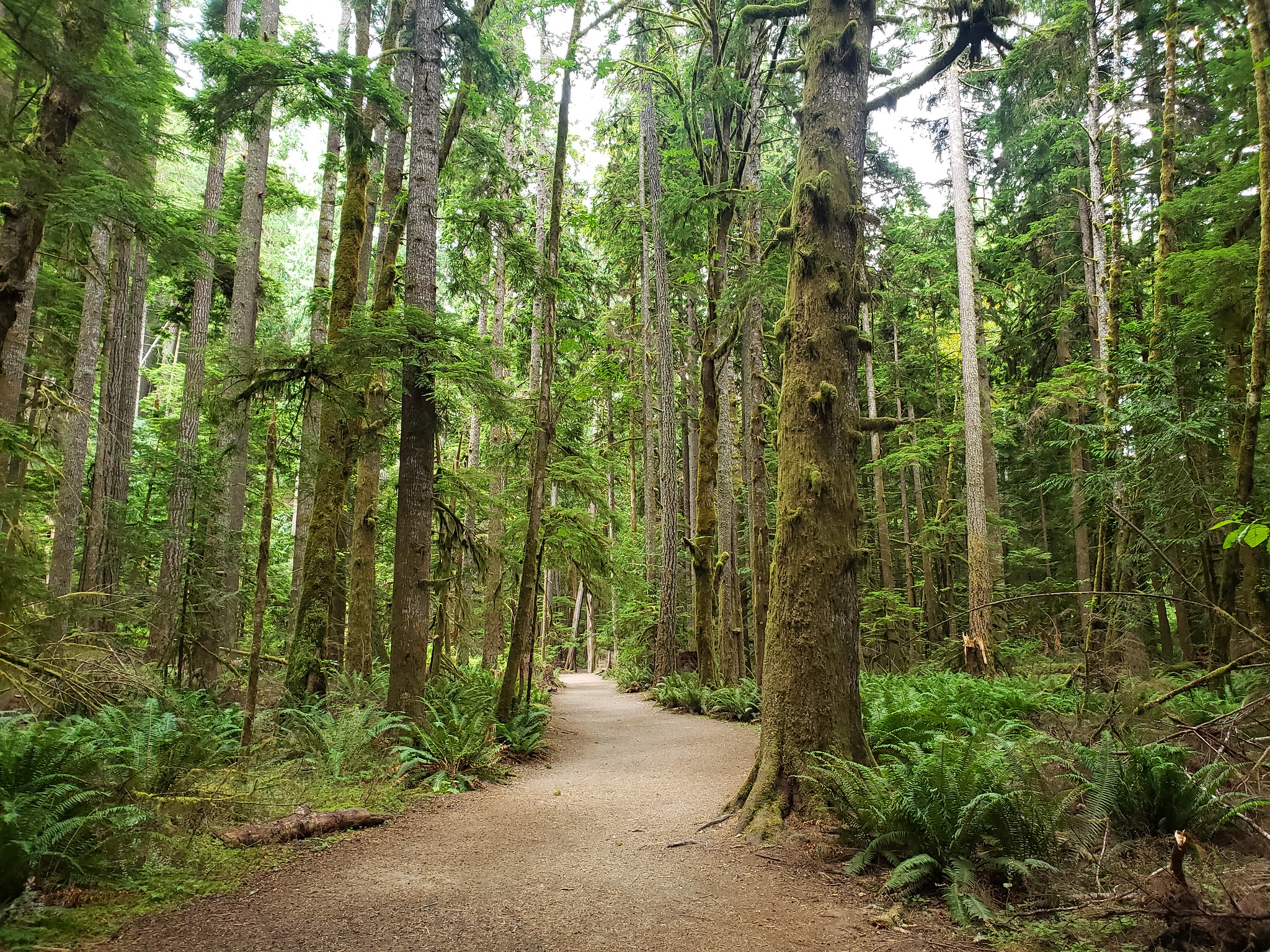
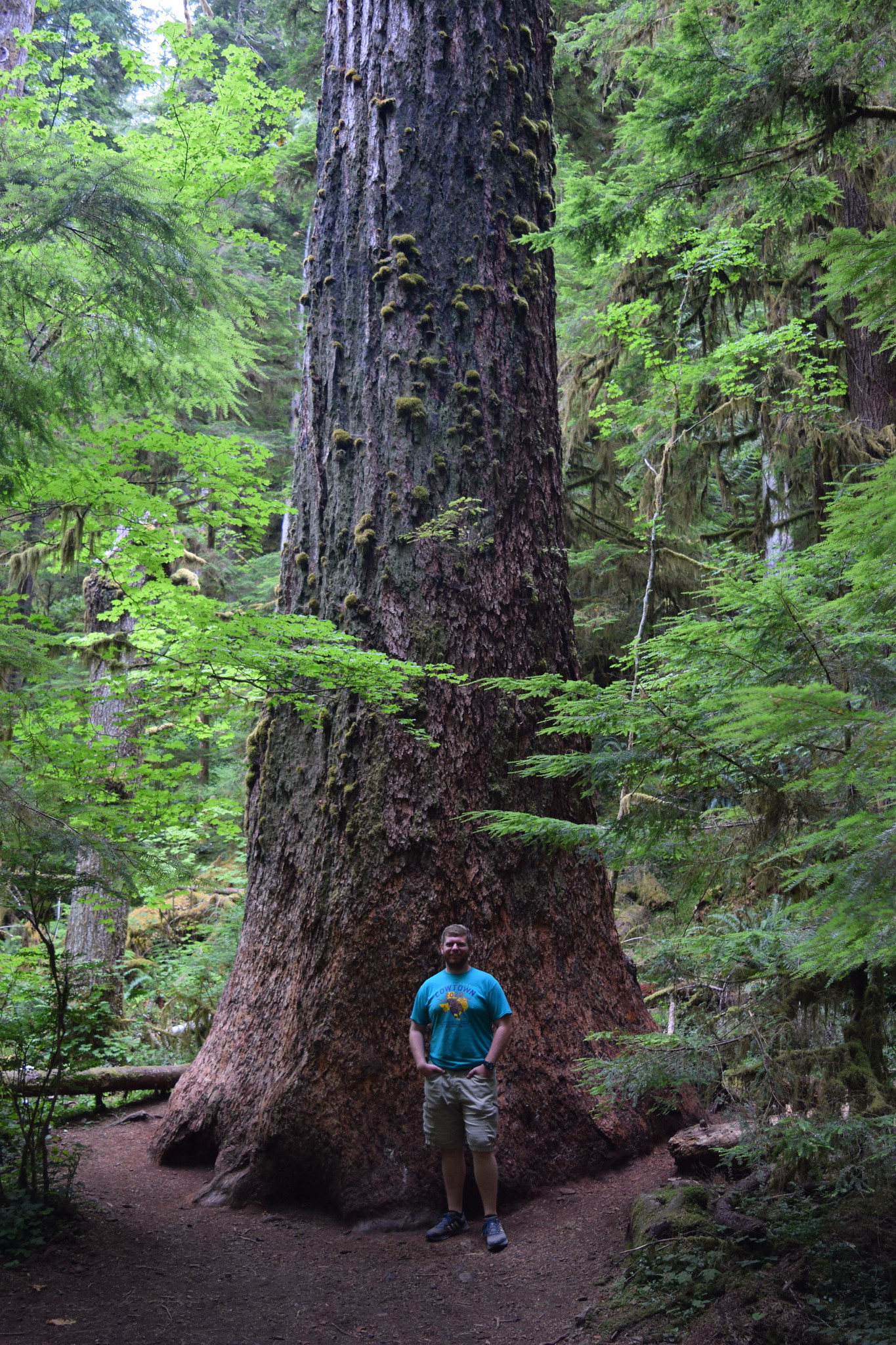
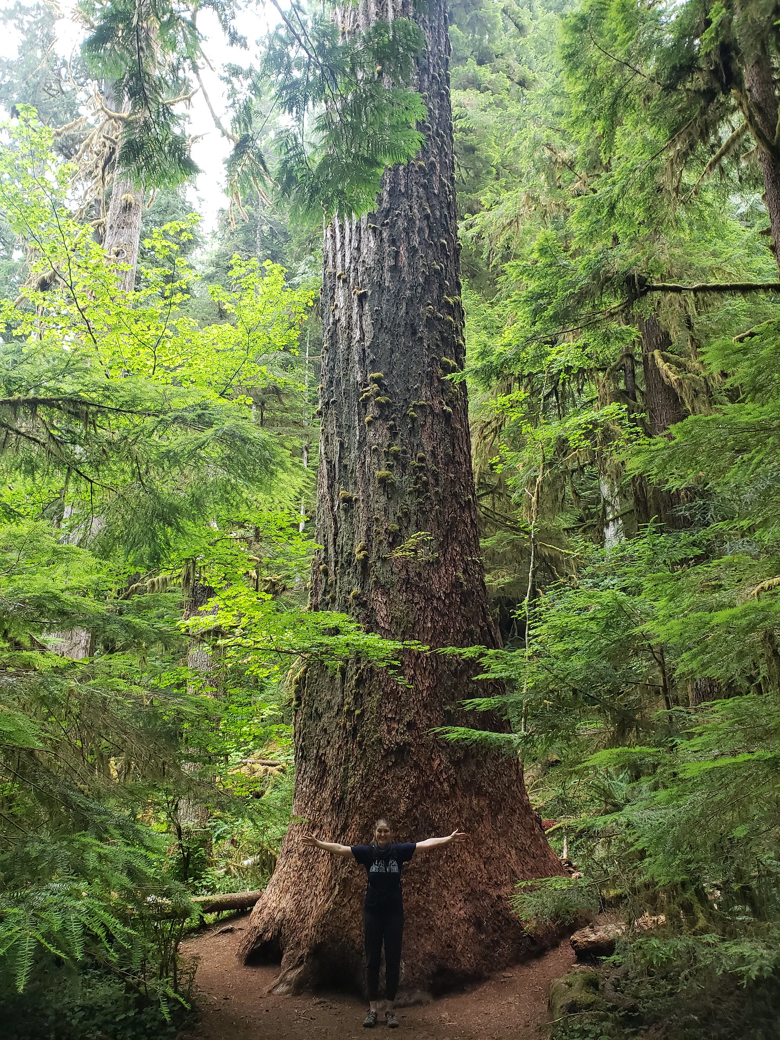
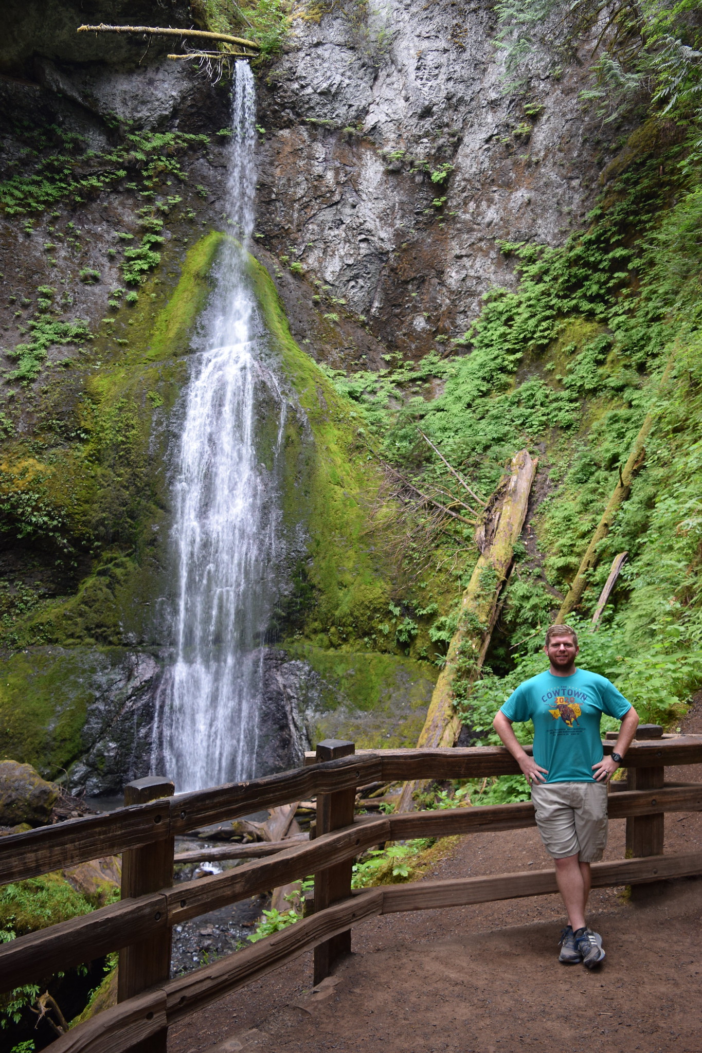
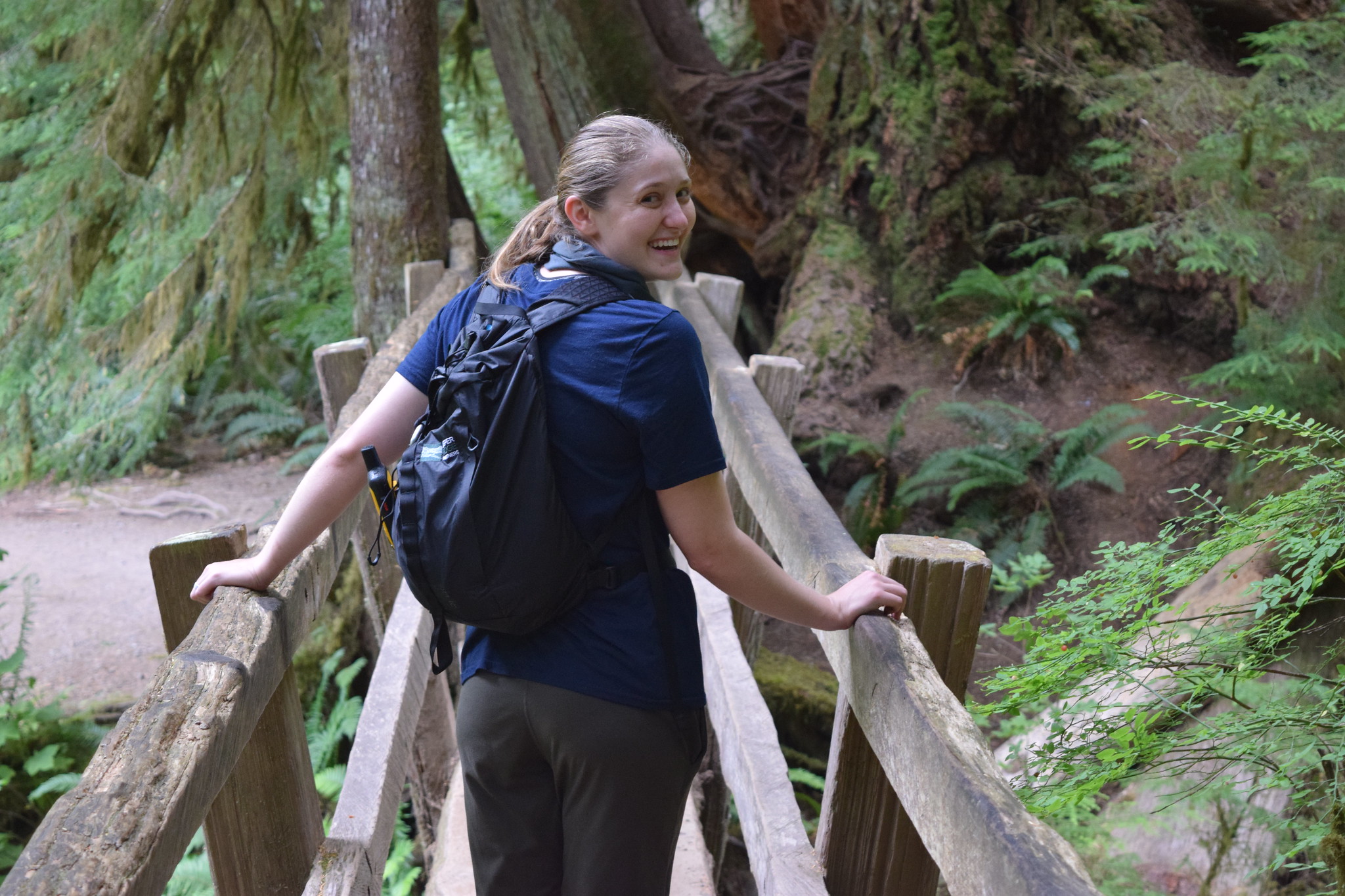
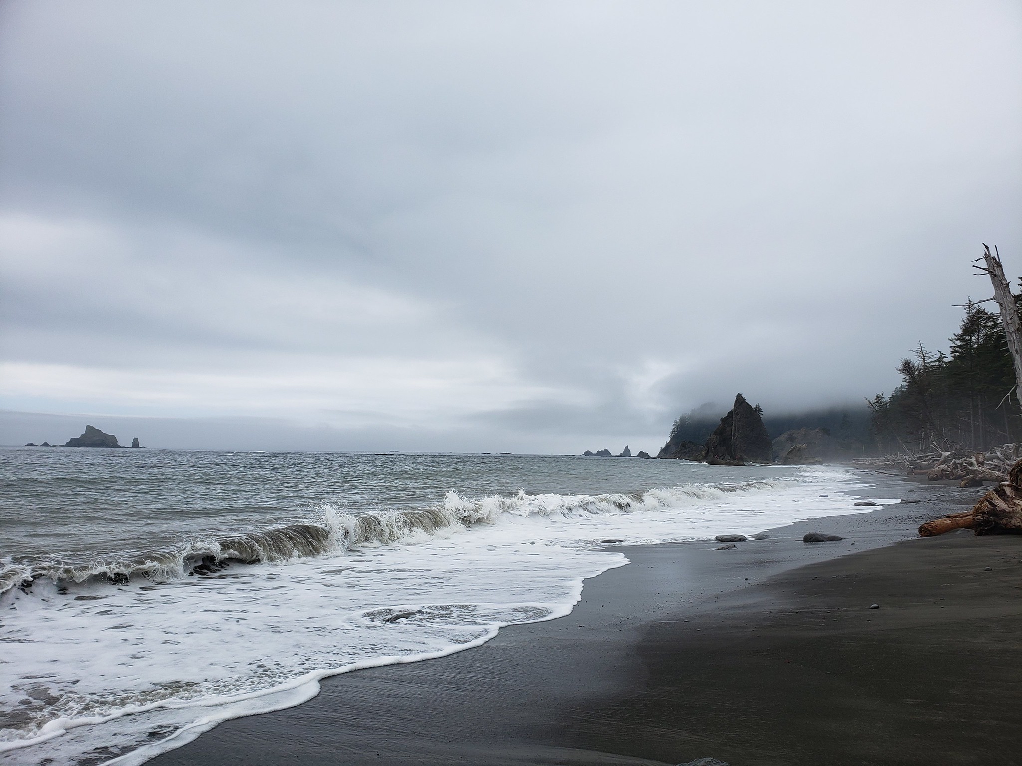
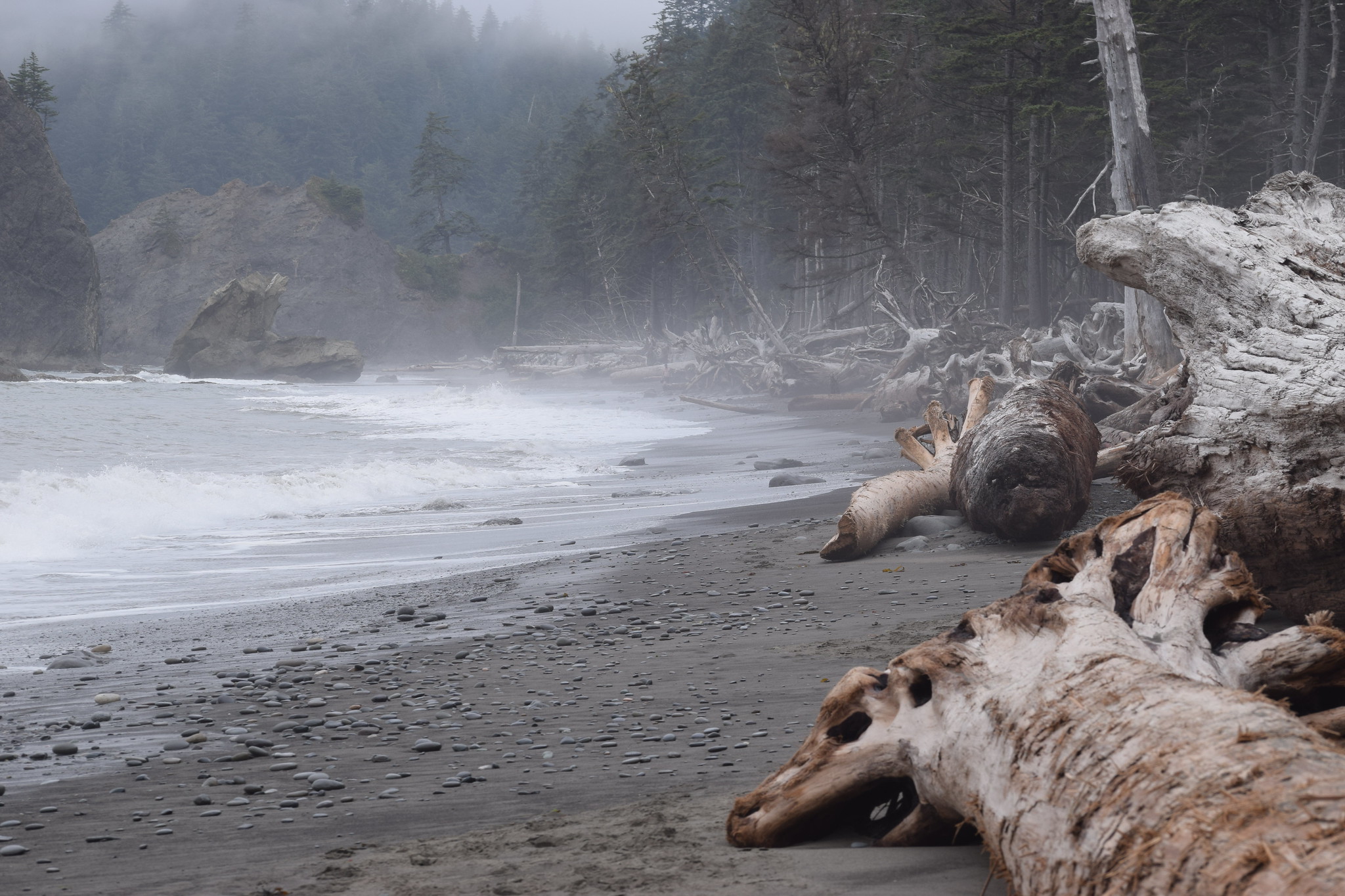
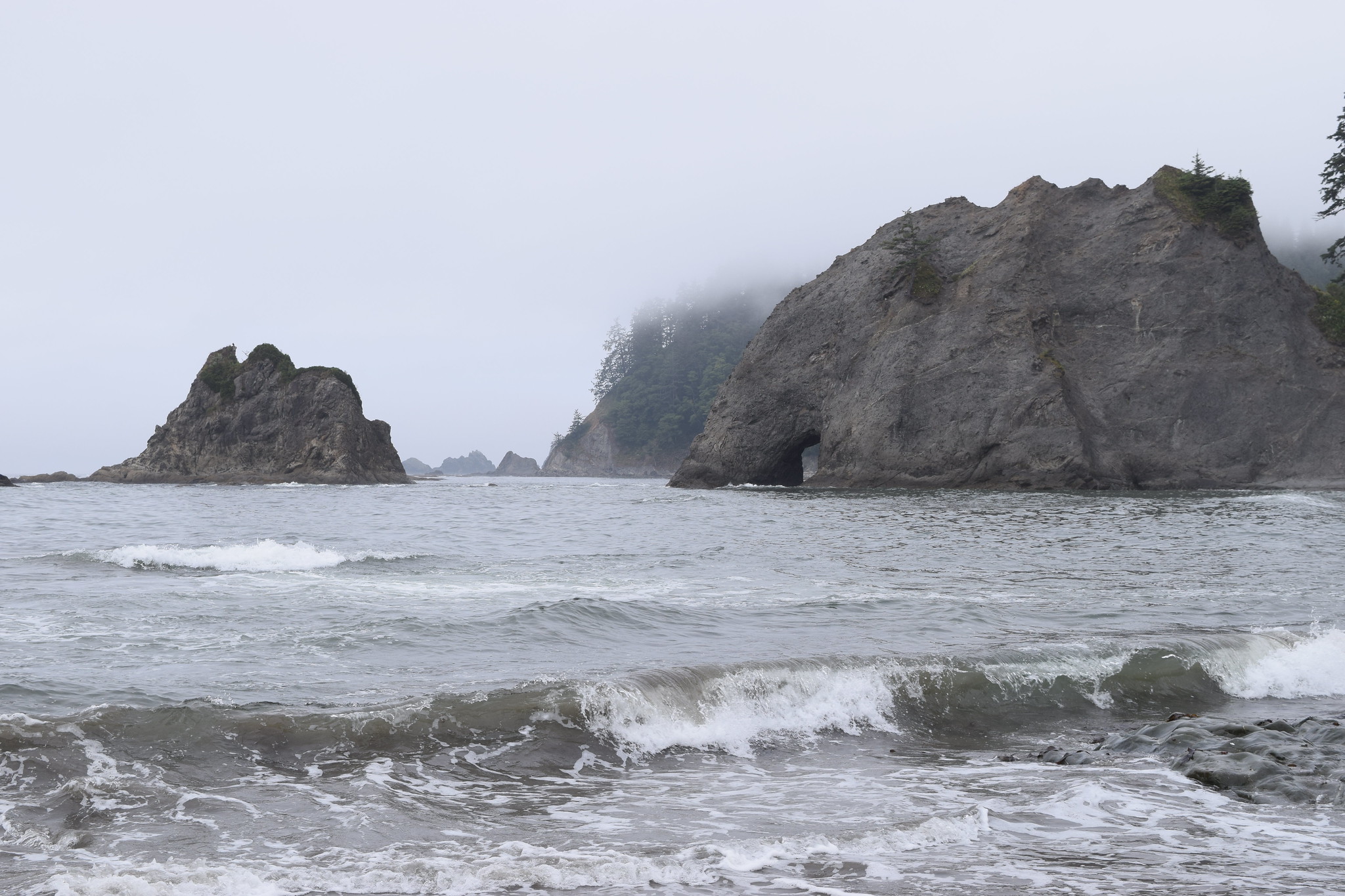
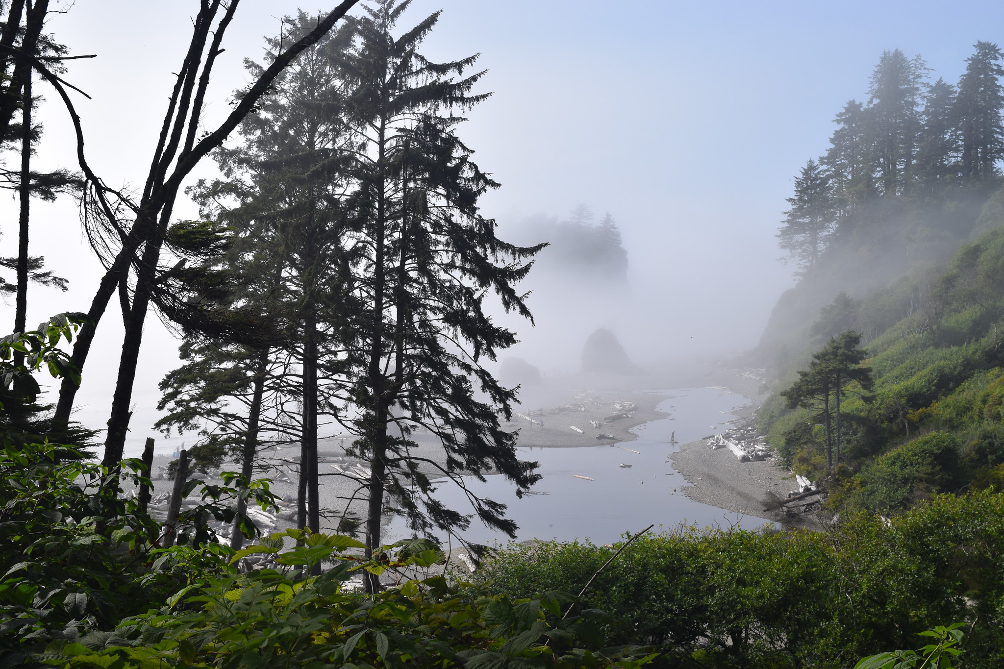
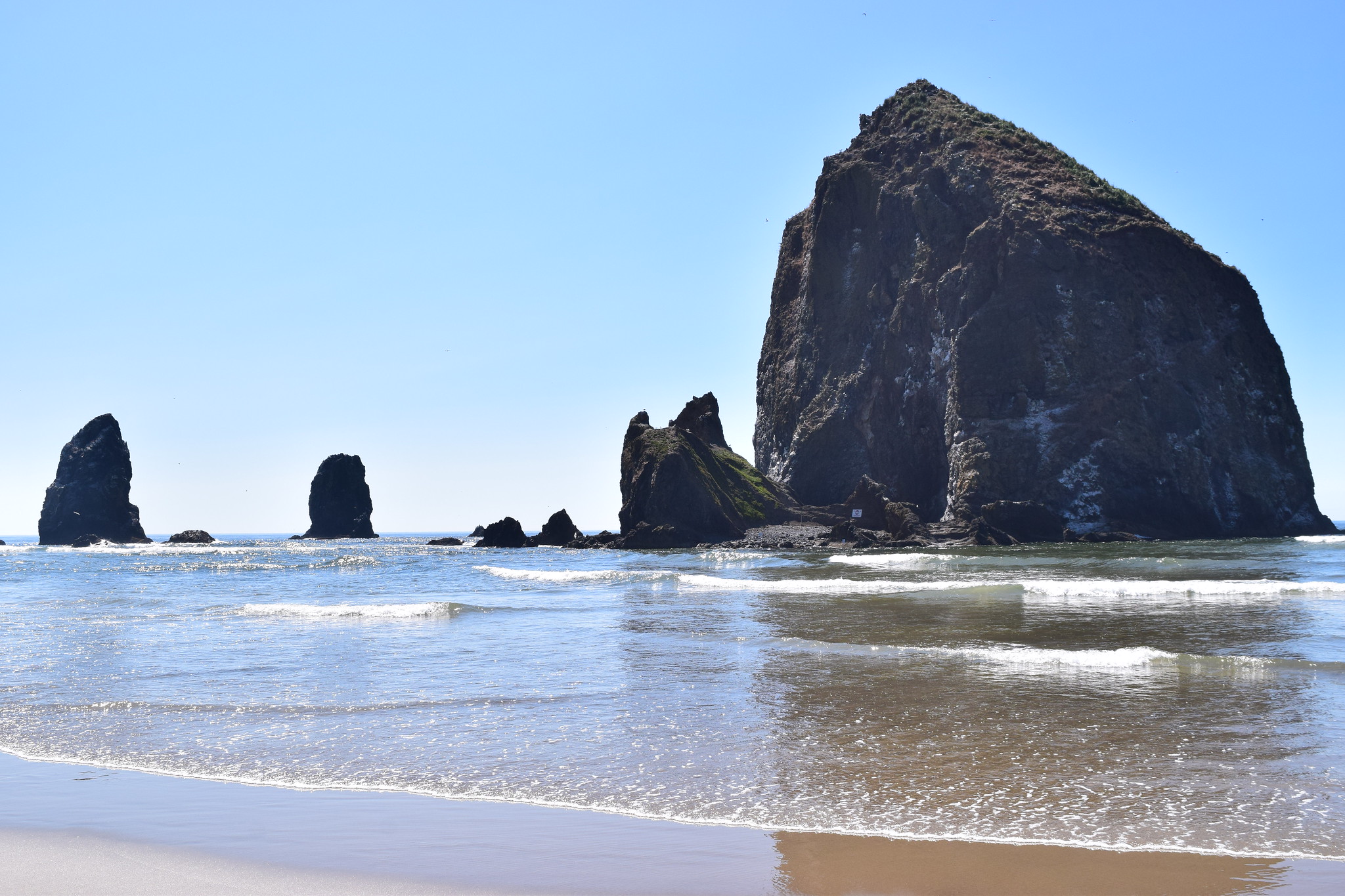
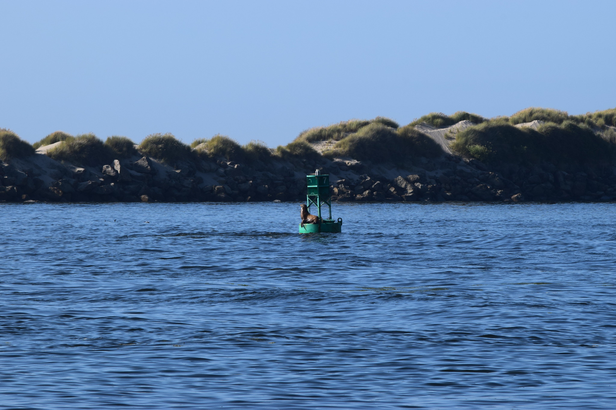
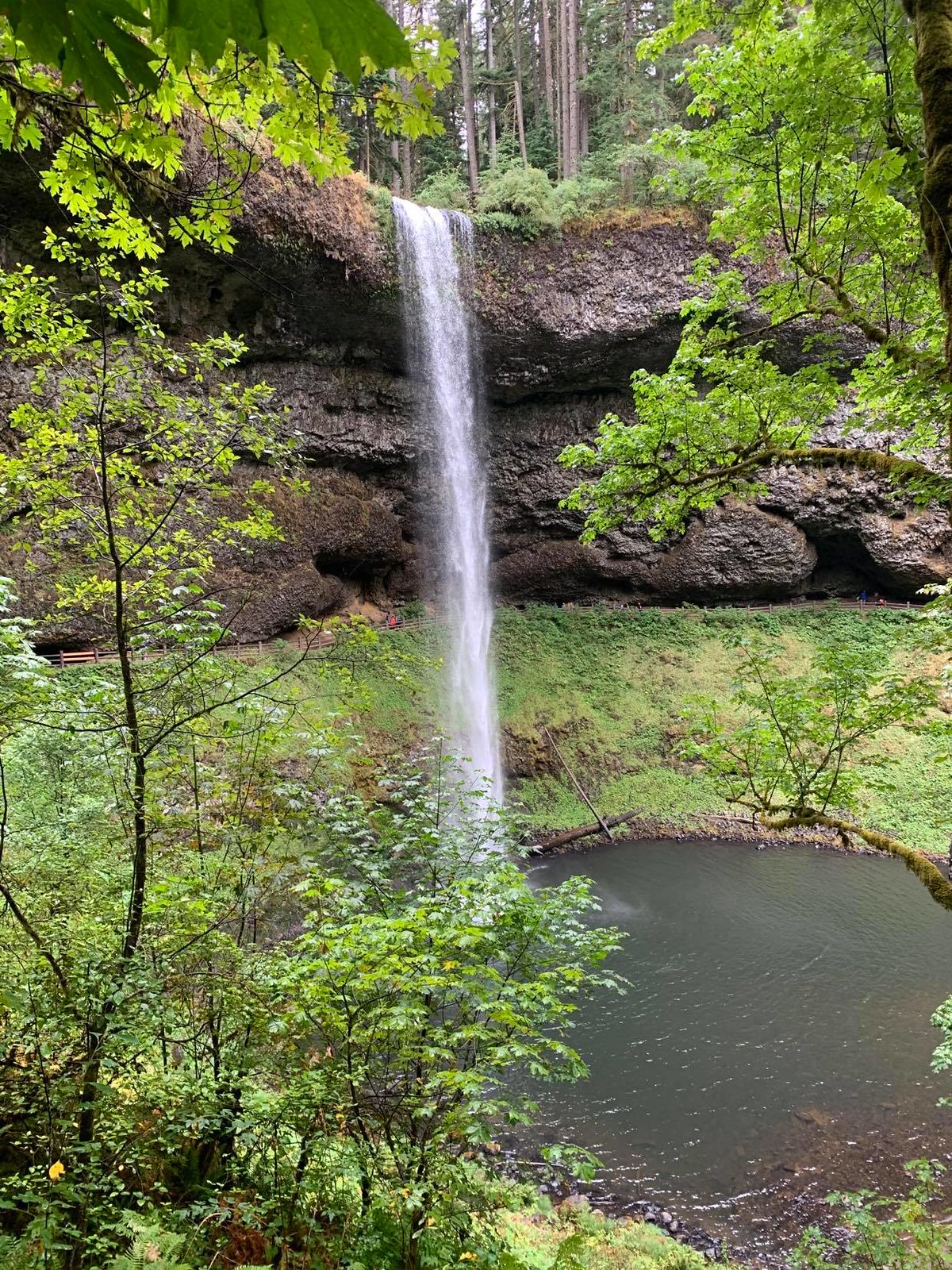
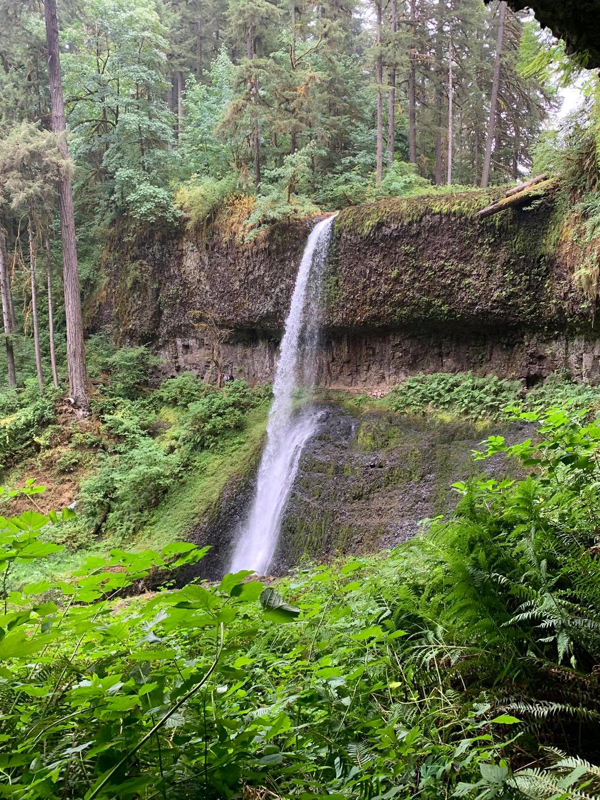
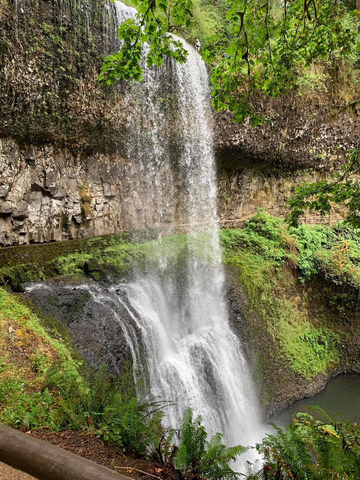
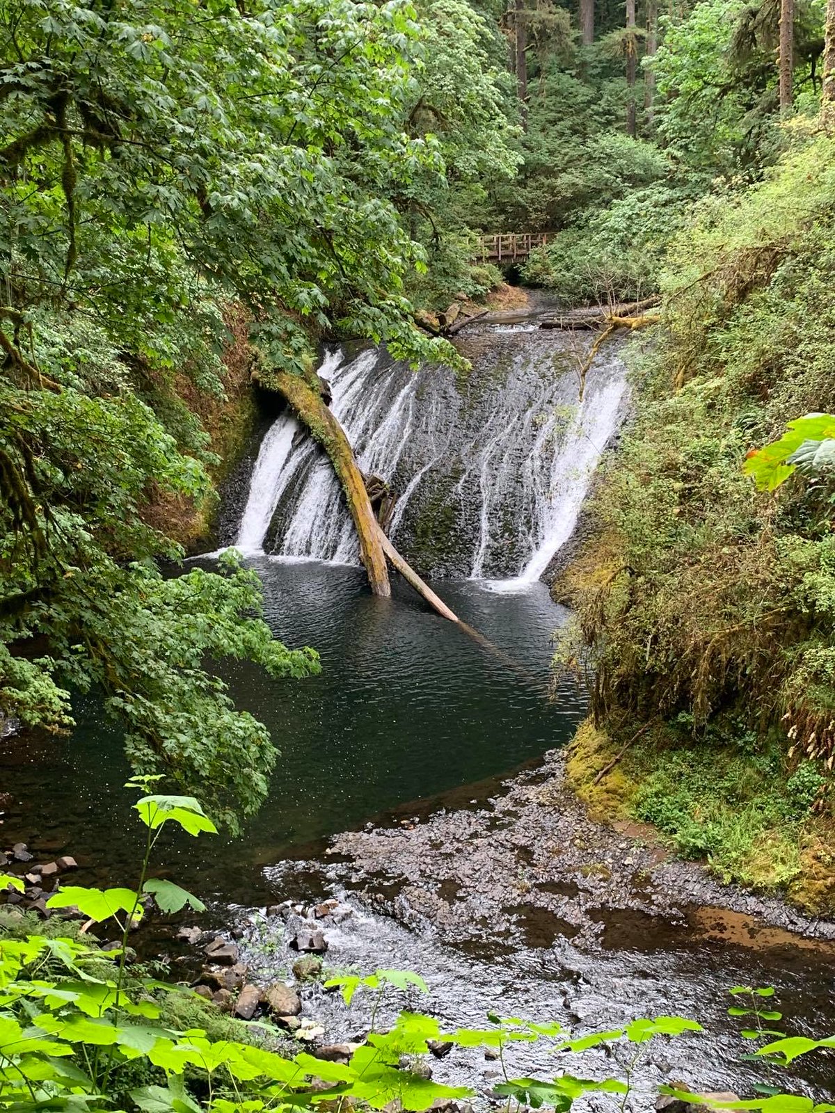
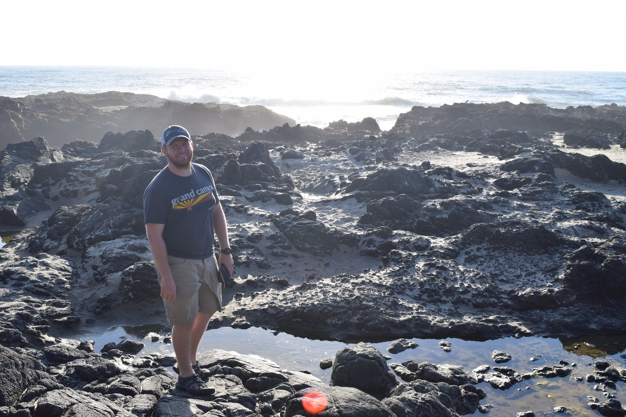
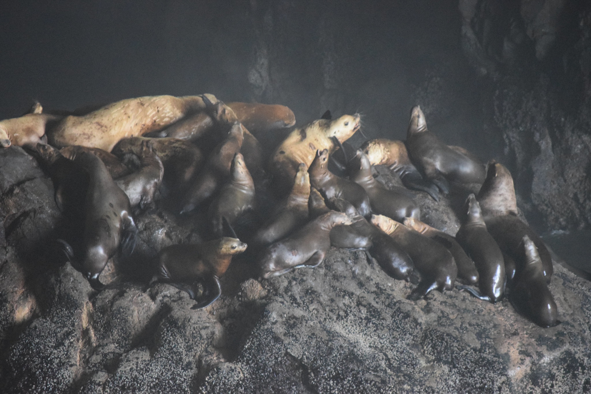
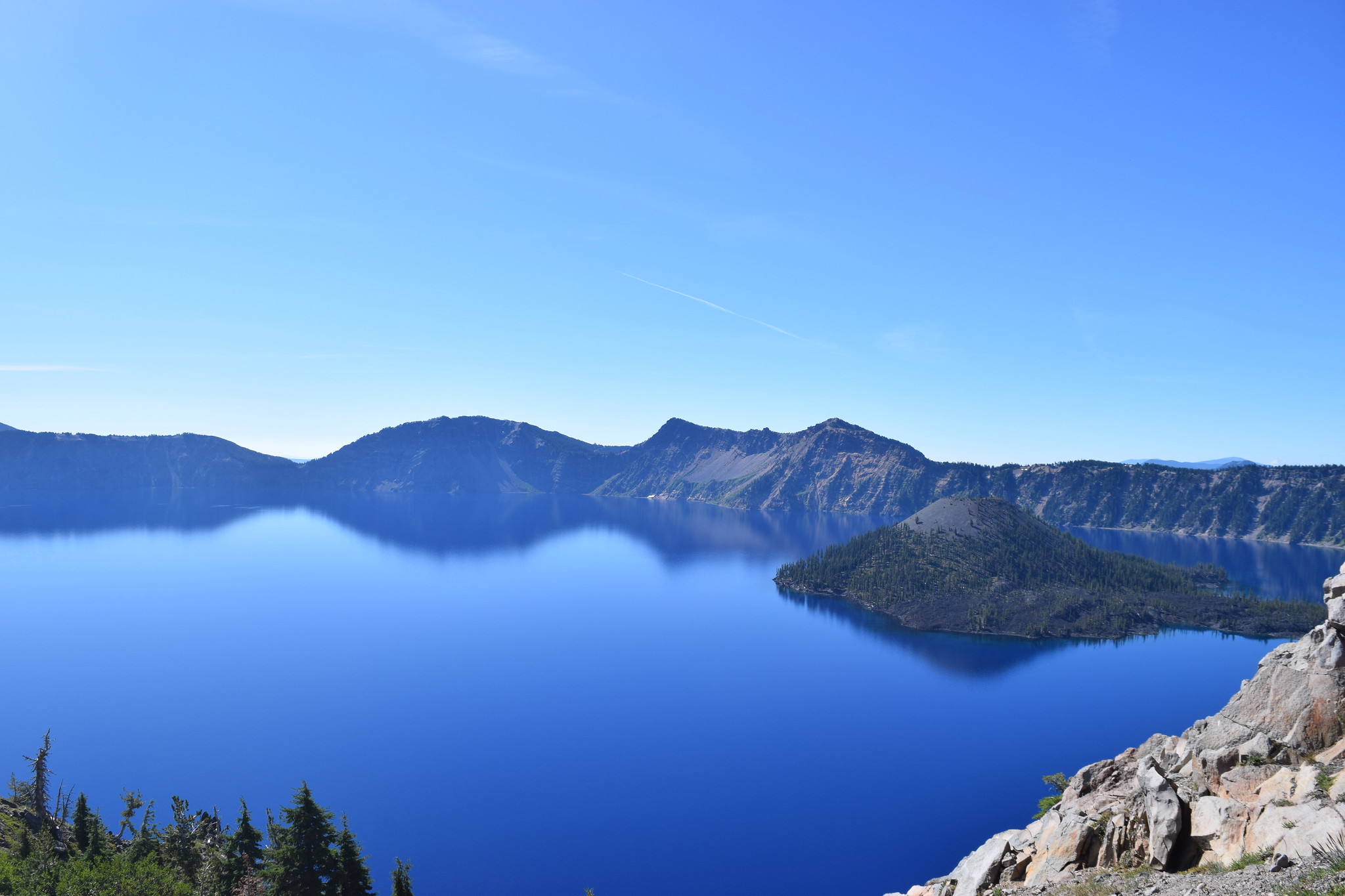
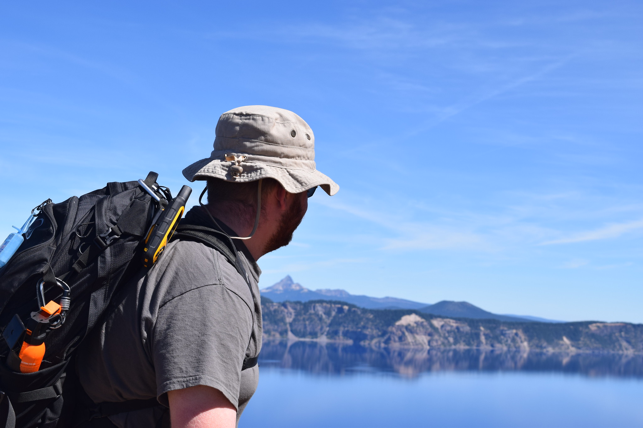
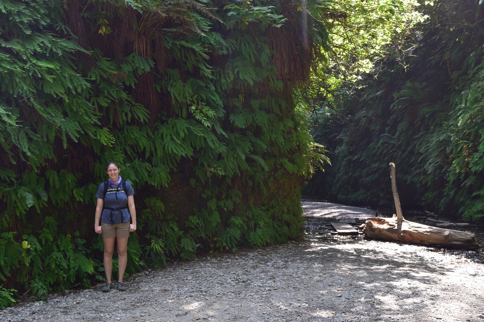
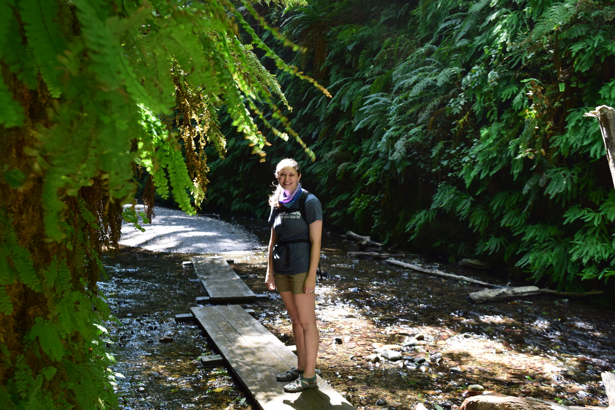
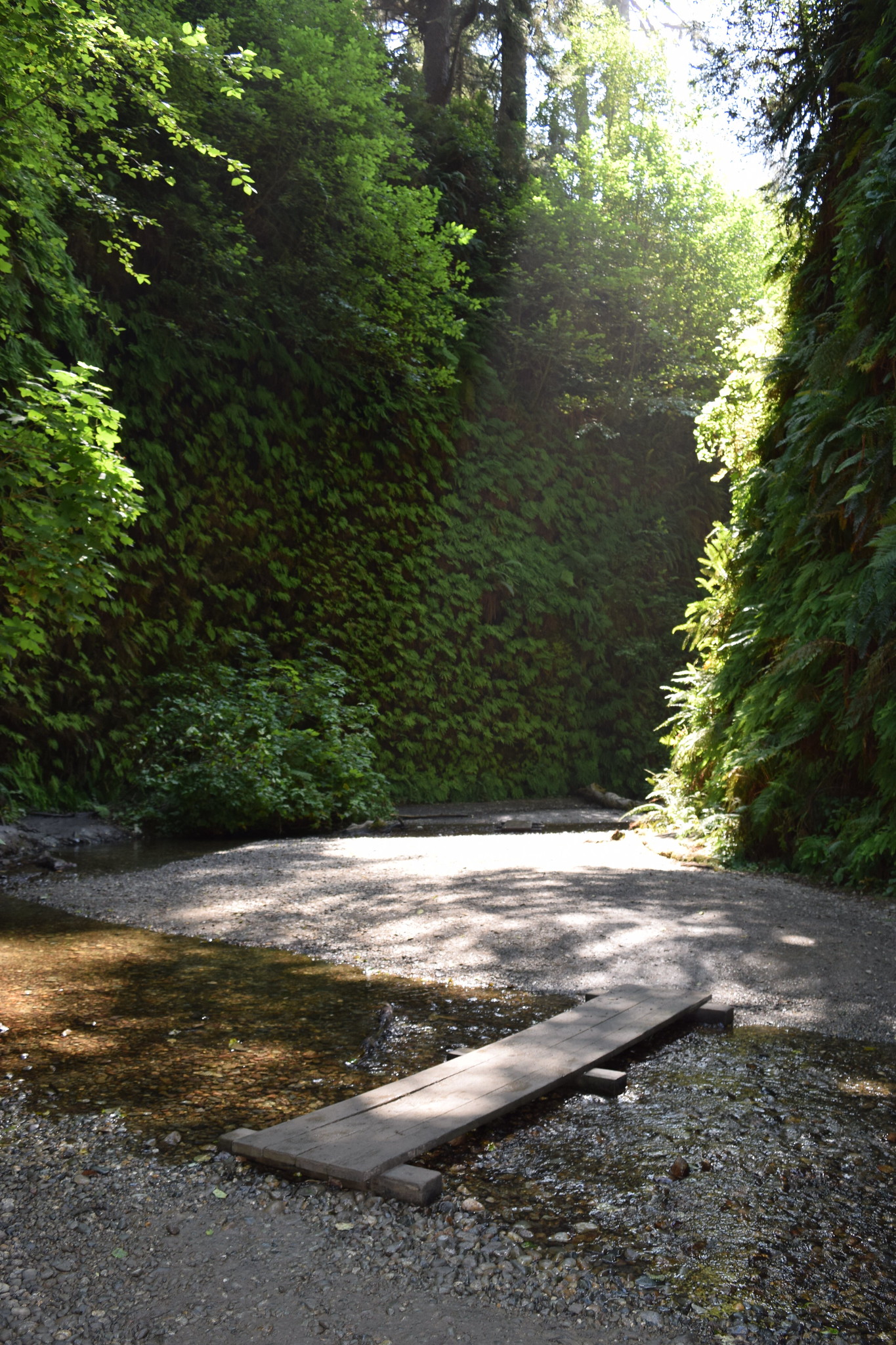
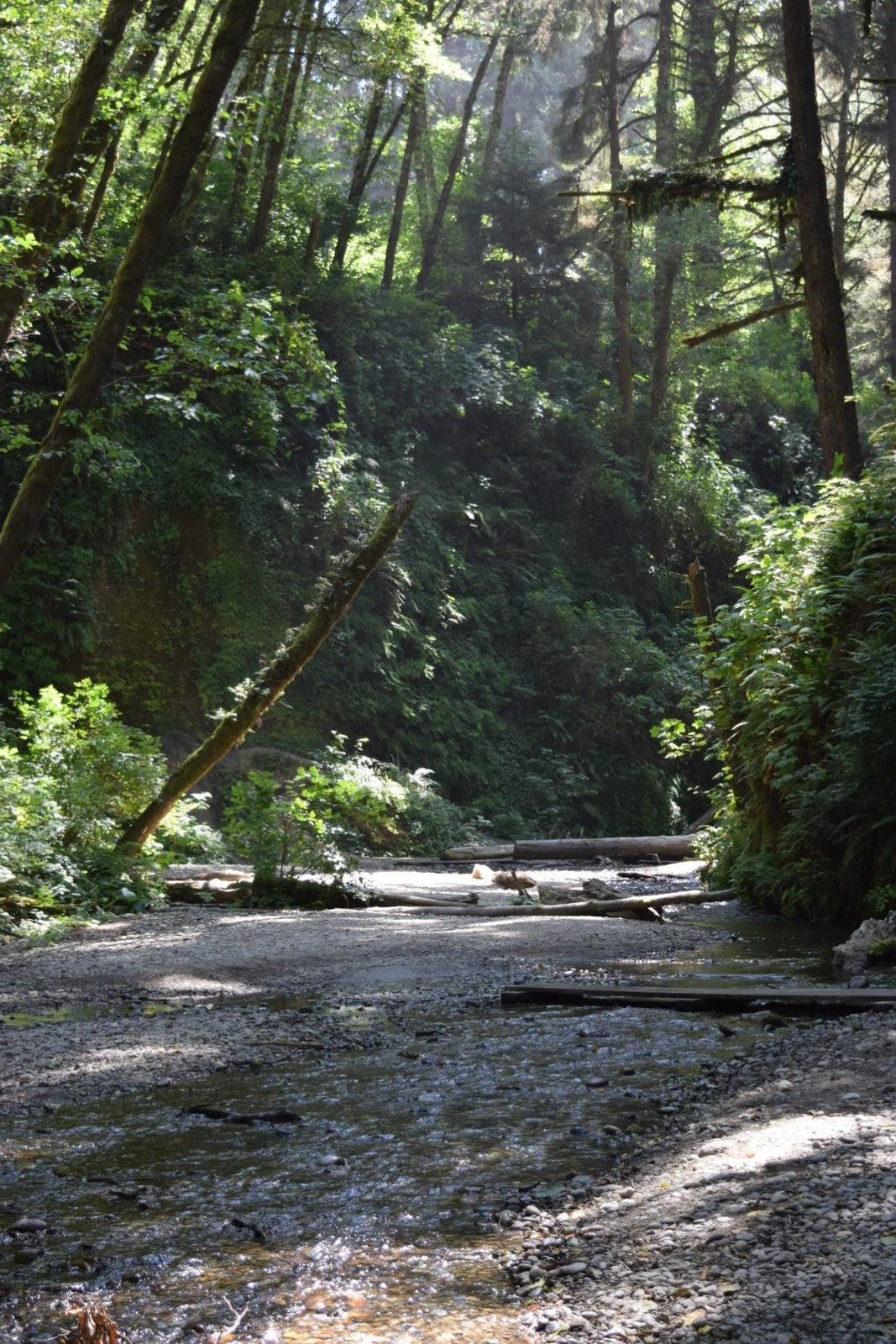
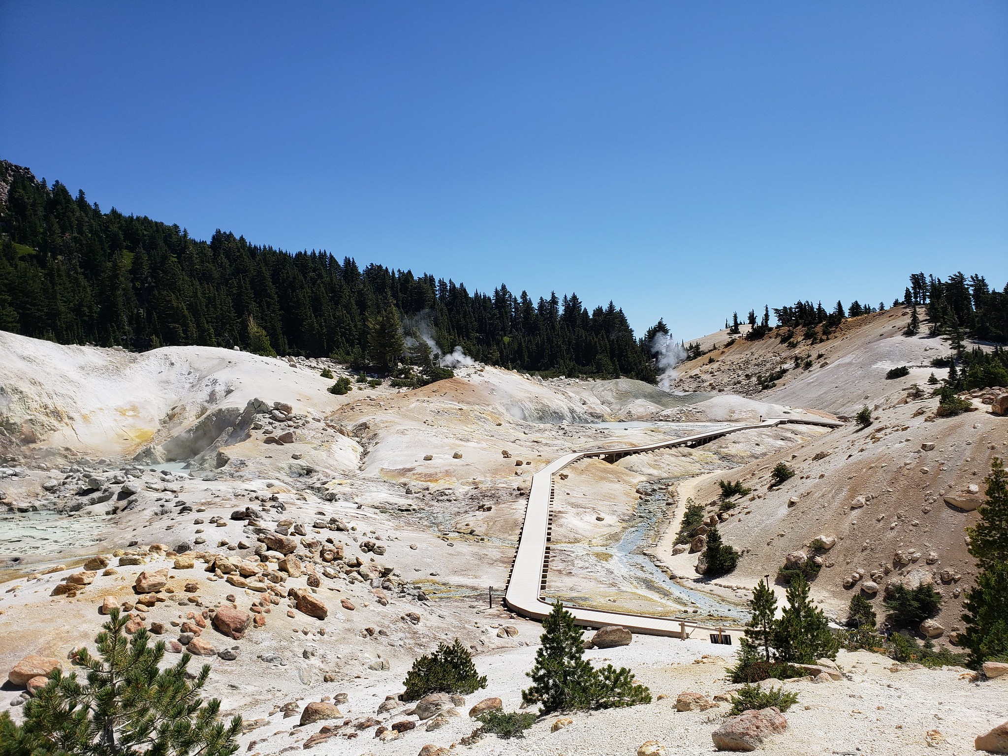
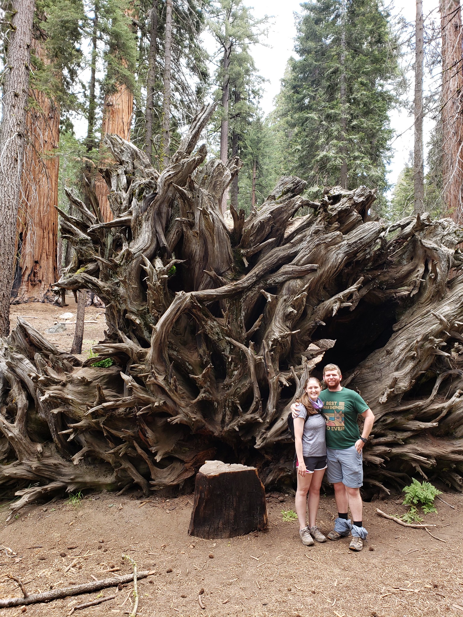
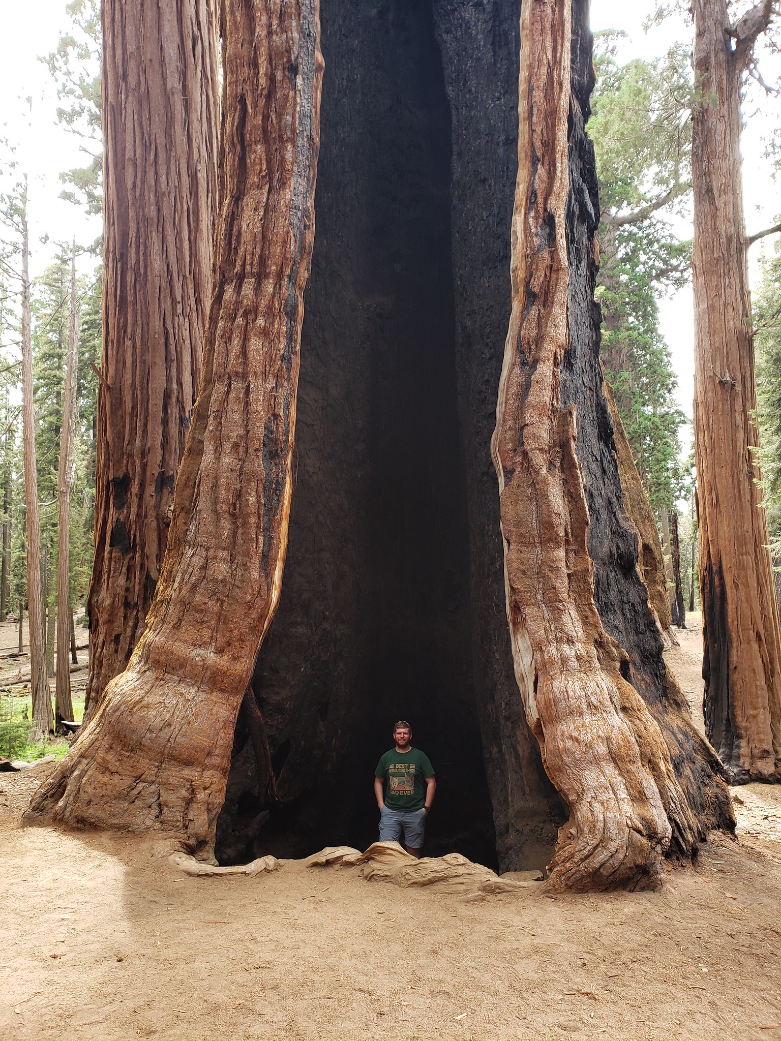
I left Texas on July 18th for 28 days. I traveled through NM, CO, UT, ID, MT, WA, OR CA, NV, AZ, and 9 National Parks. I spent the first two weeks camping, by myself. Then my wife flew into Spokane, WA to join me for the remaining two weeks.

I drove right about 8,977 miles, using 565 gallons of gas, with an average miles per gallon of 15.85, an average cost per gallon of $2.51, and a total fuel cost of $1,407.08. 


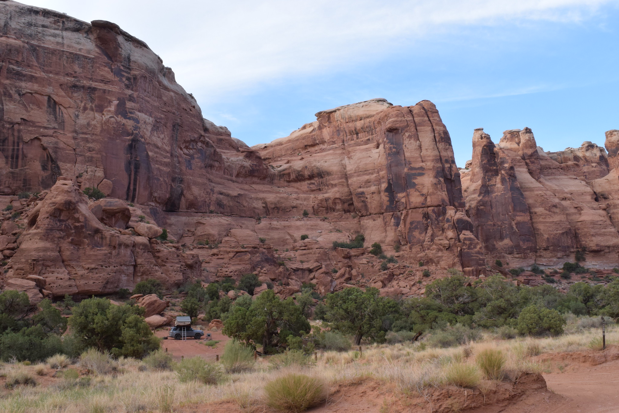
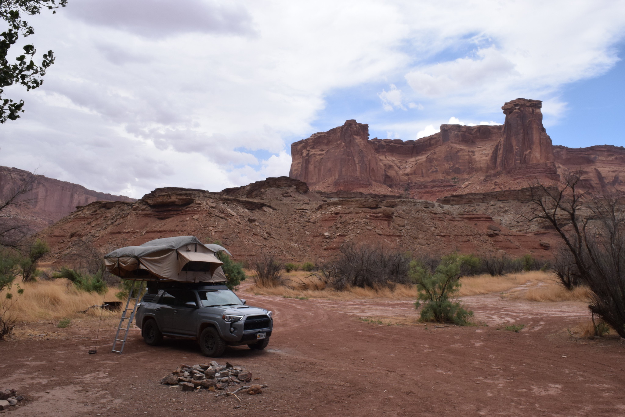
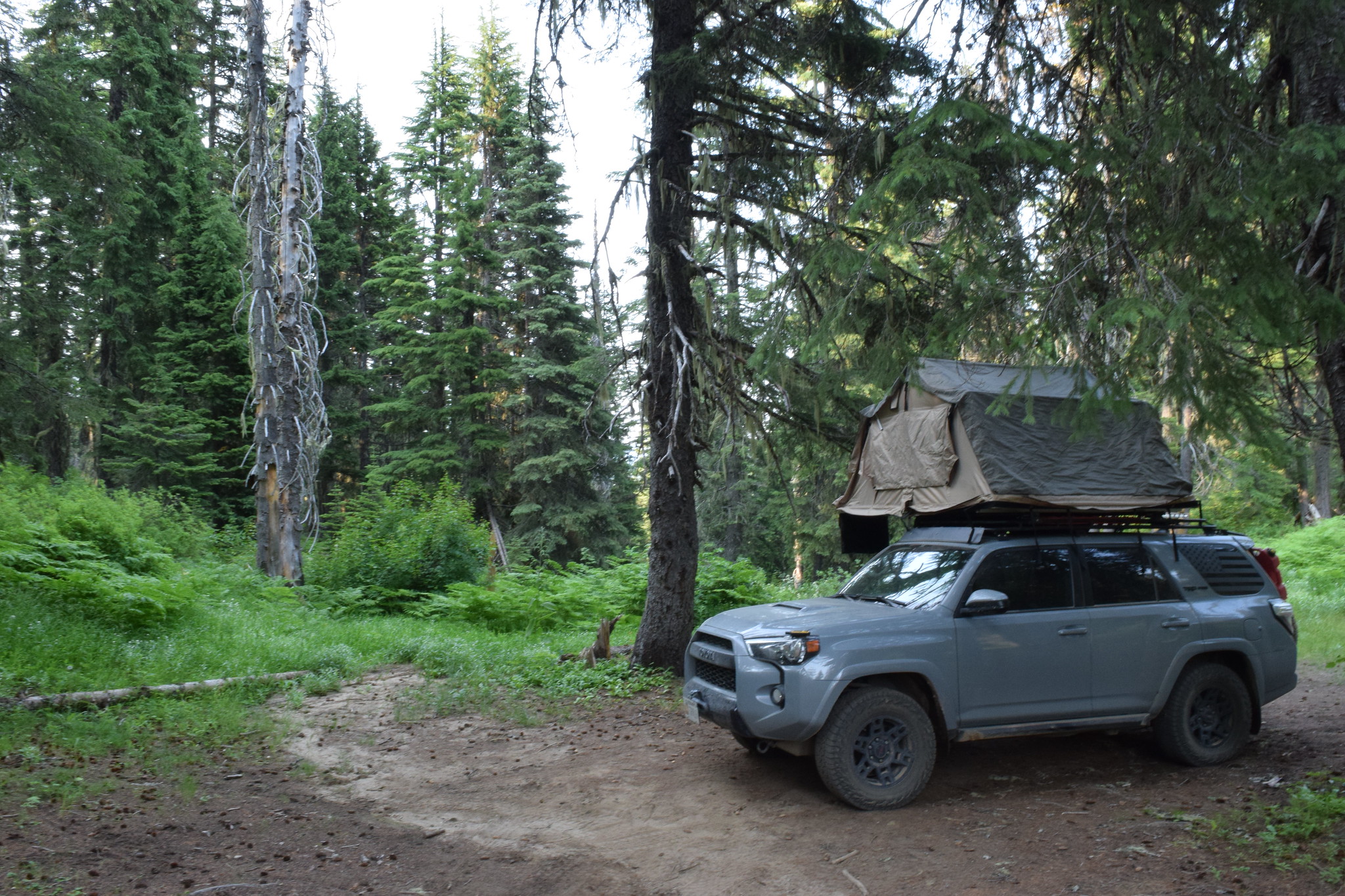
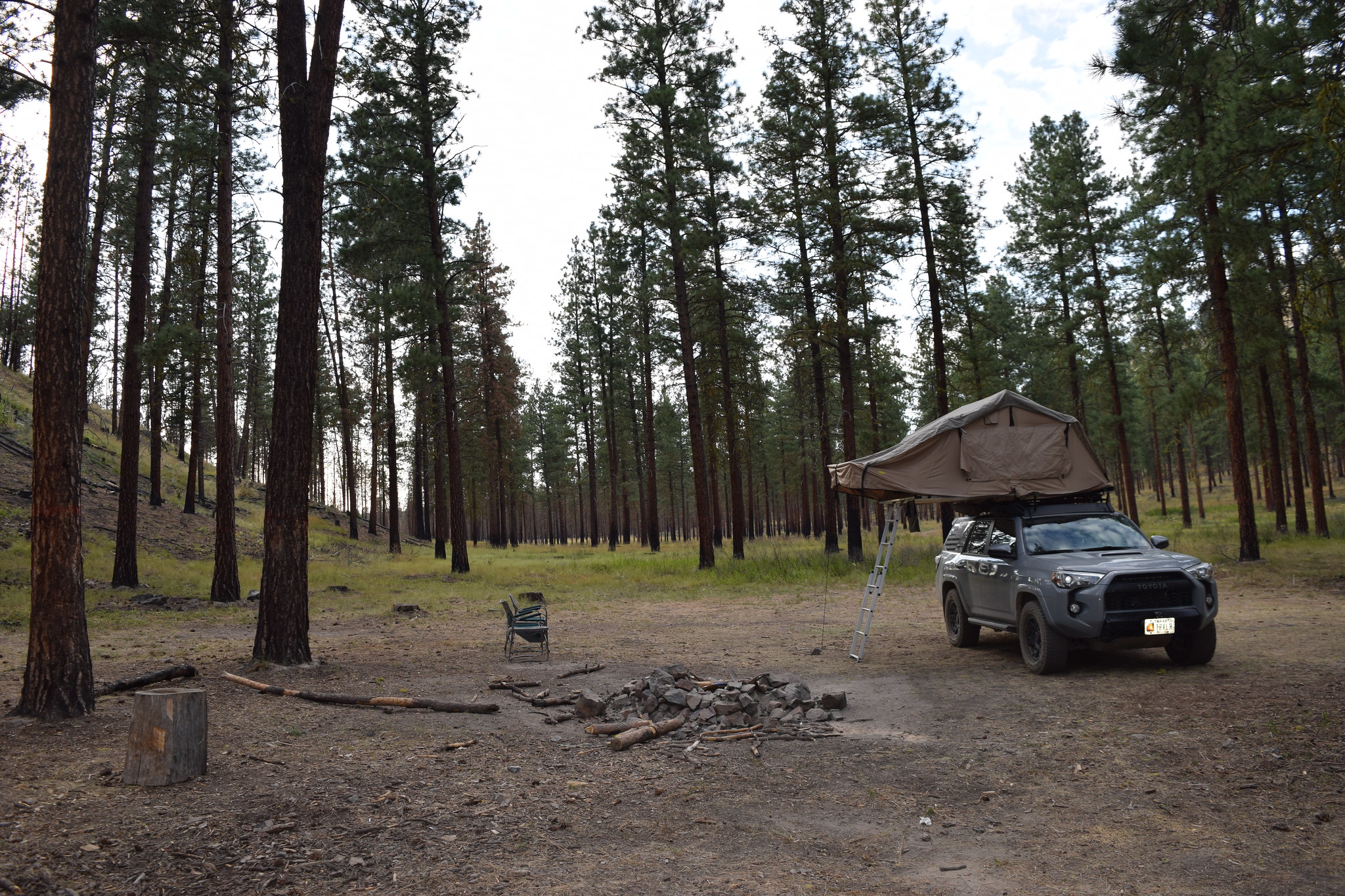
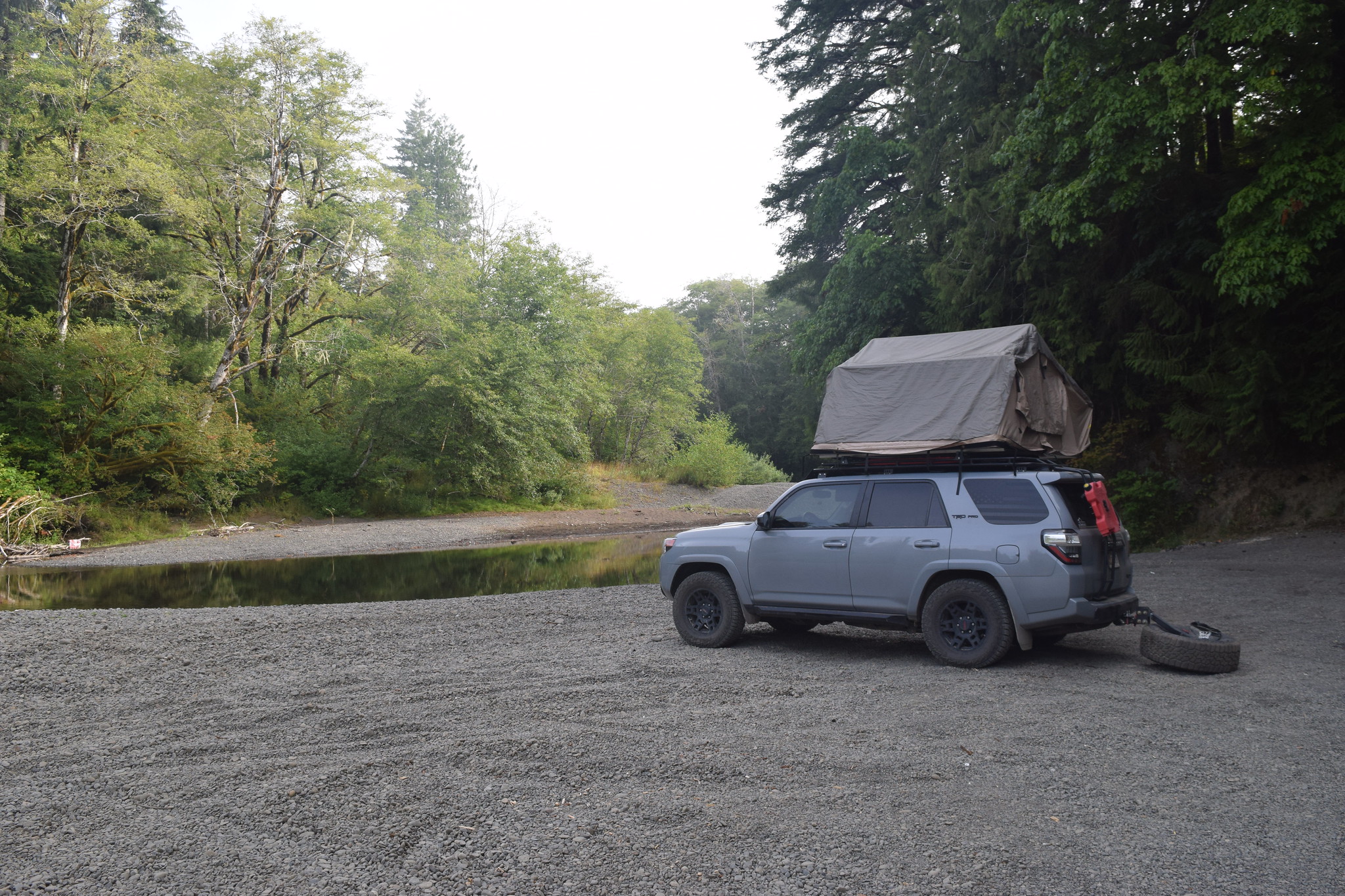
Generally speaking I try not to camp in one spot more than once. However, if I'm heading out West, I usually use Angel Peak as my first night destination.


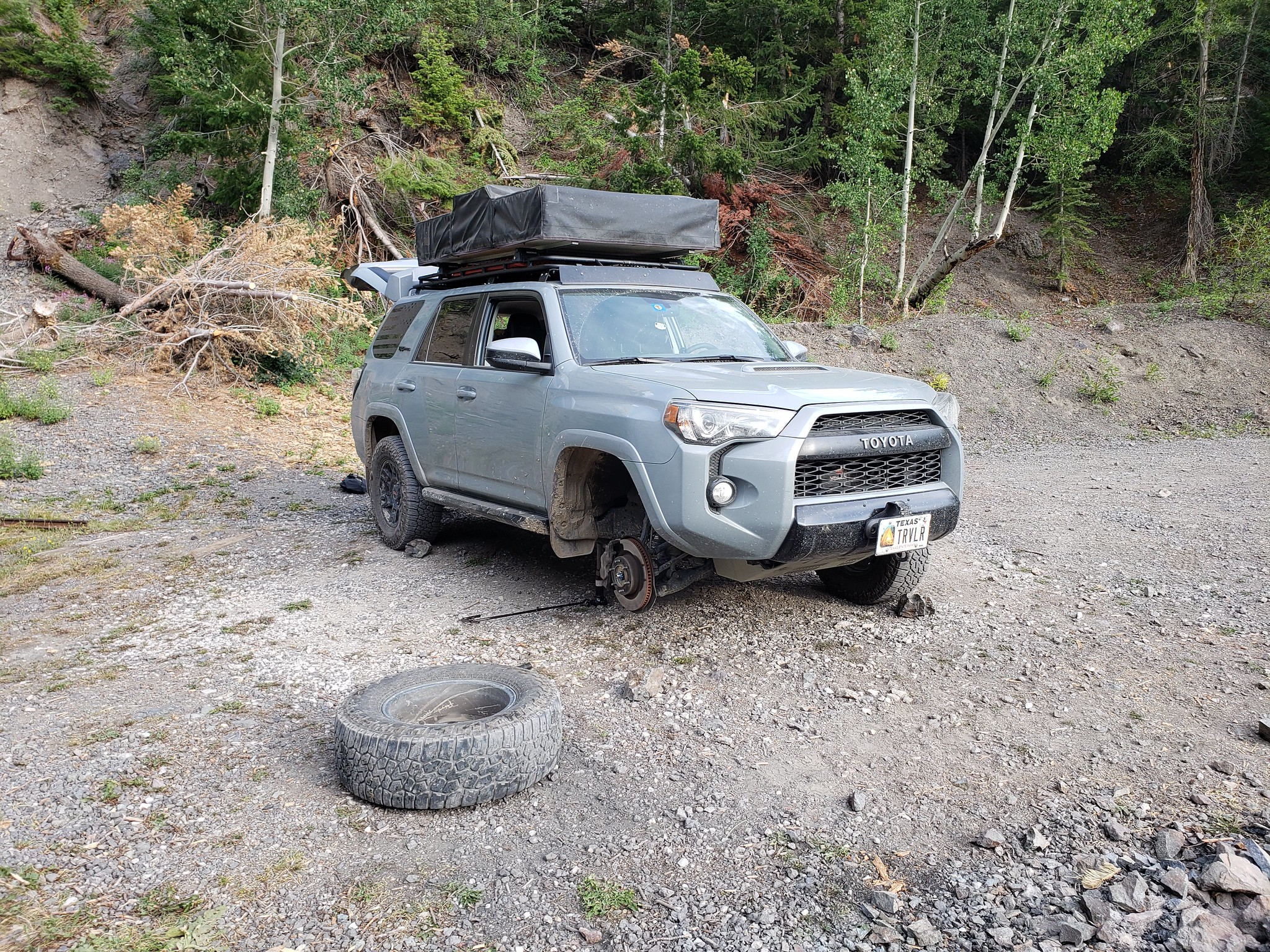
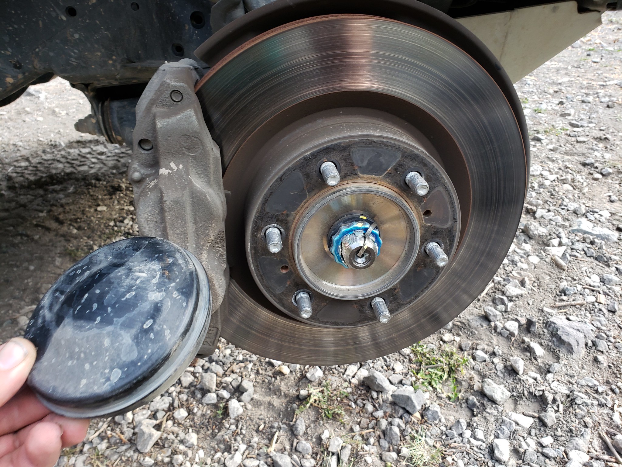
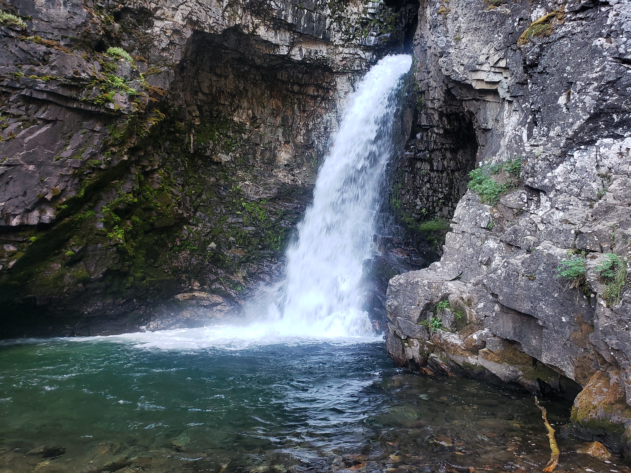
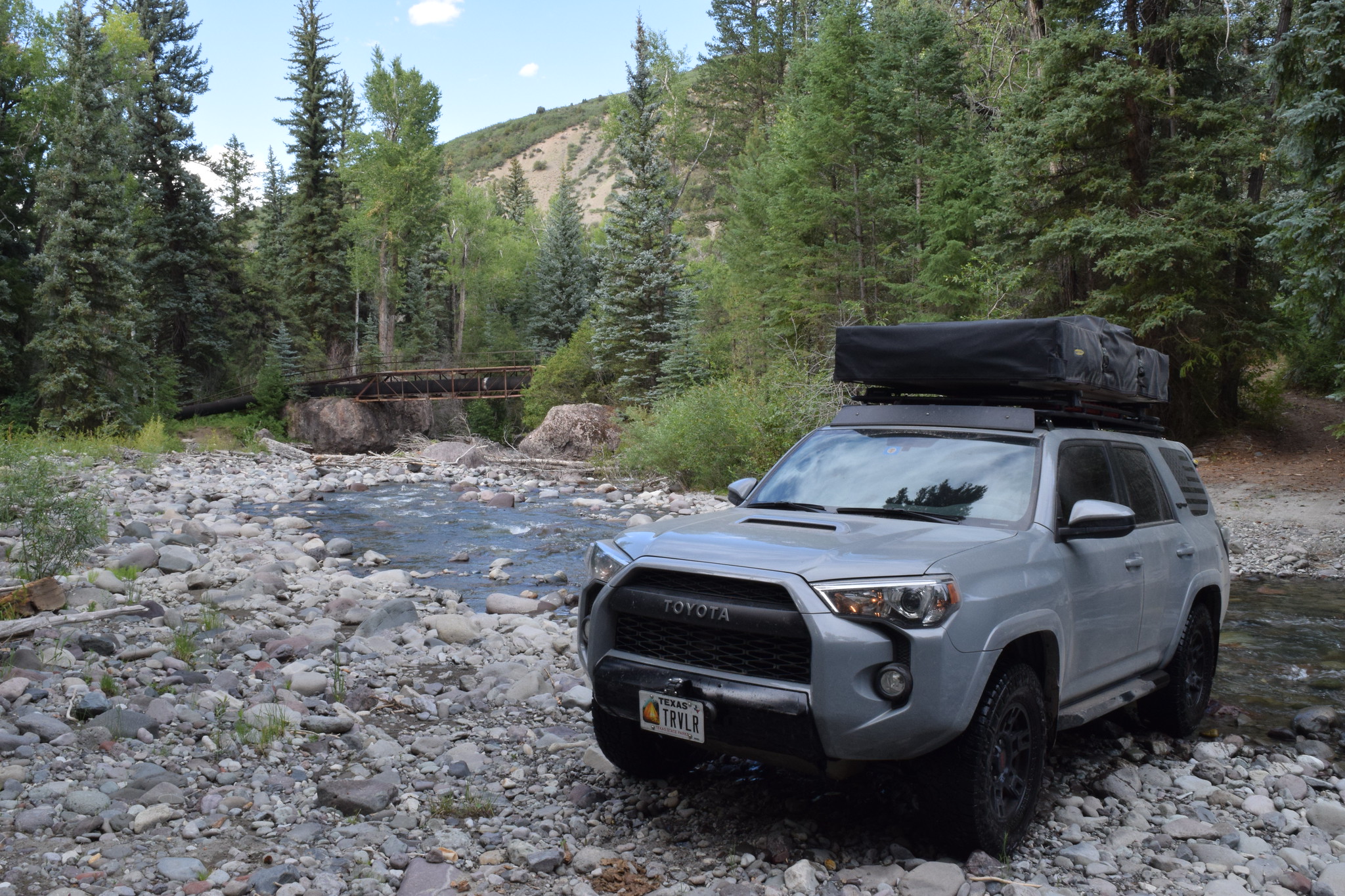
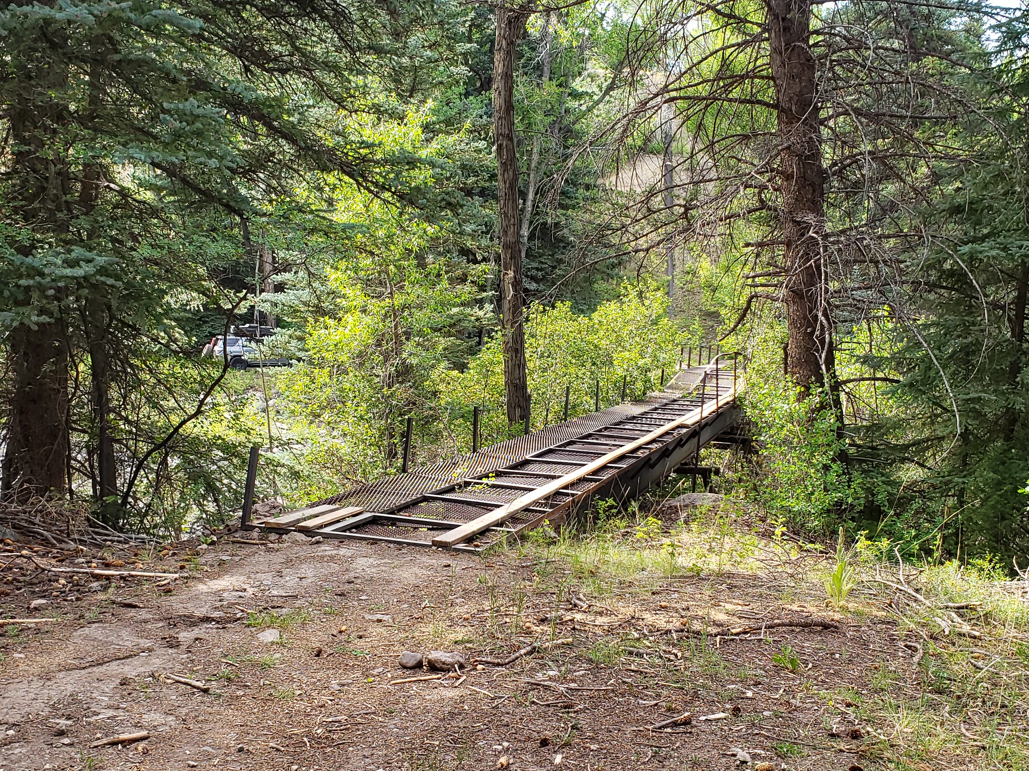
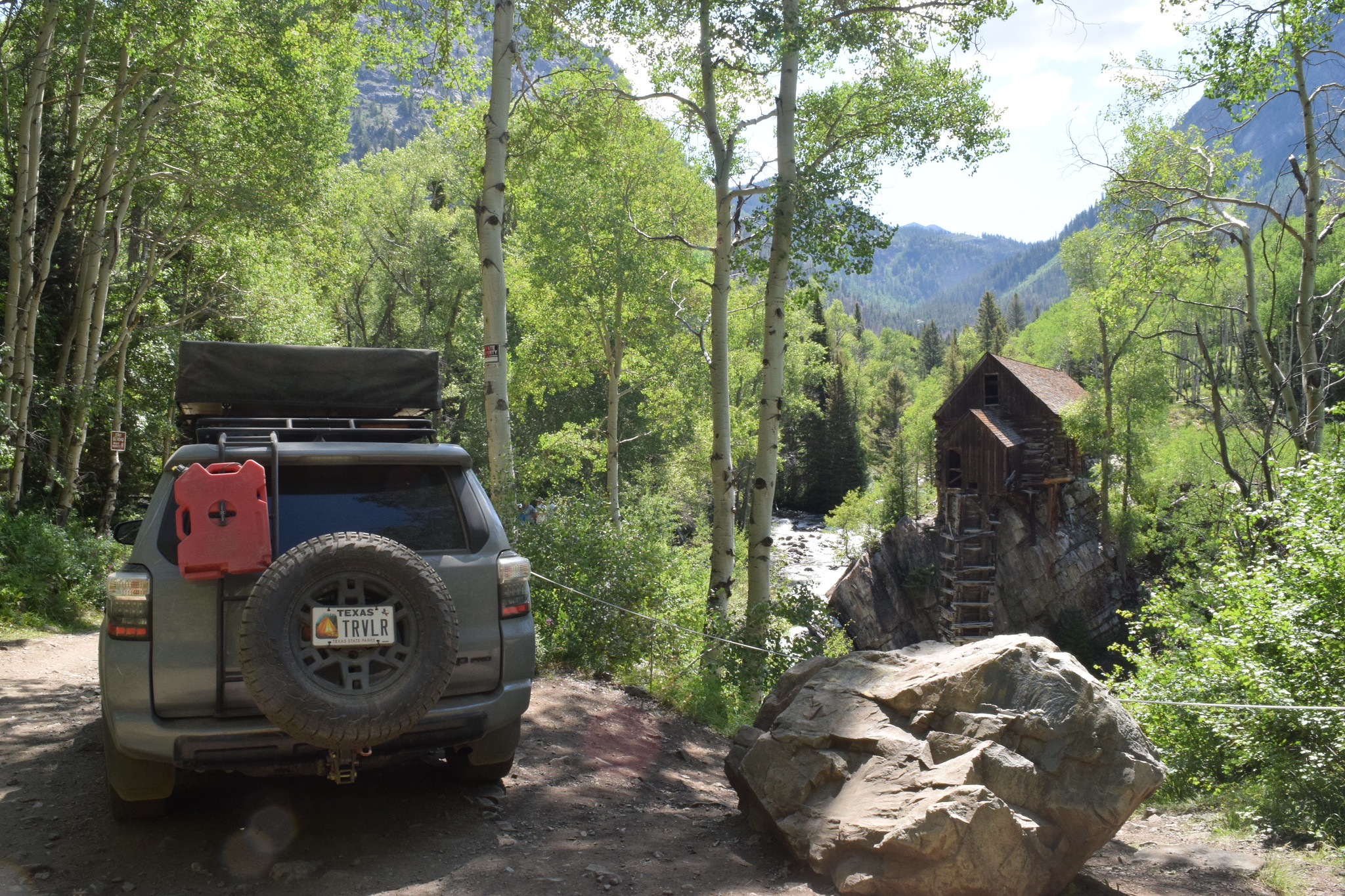
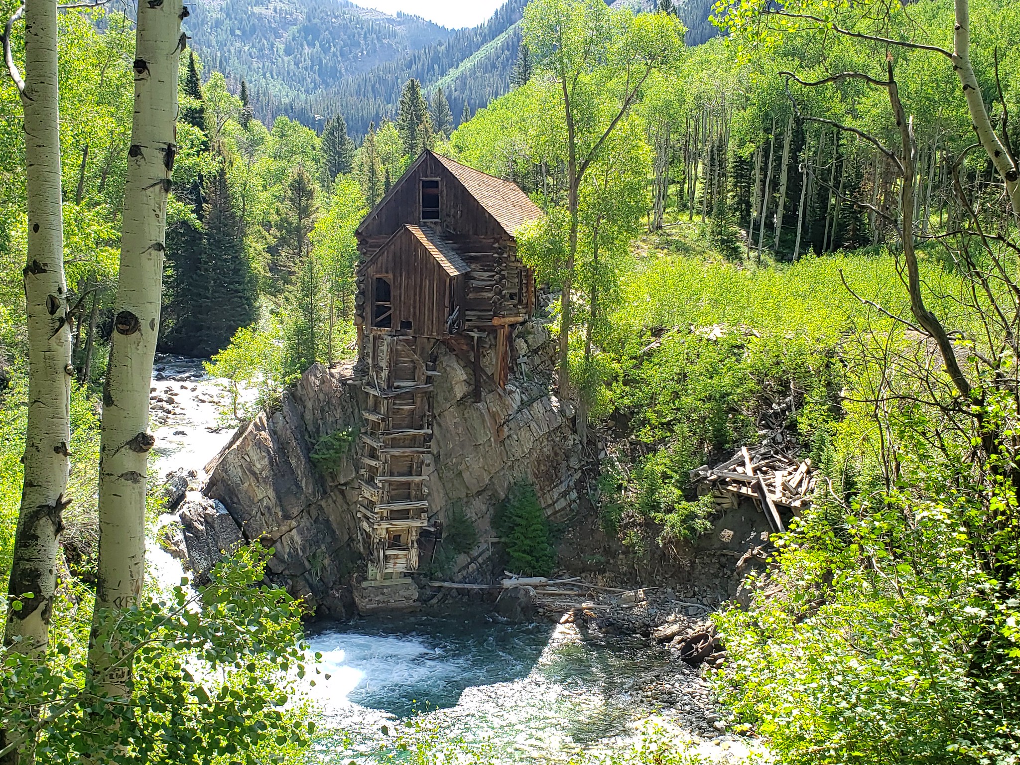
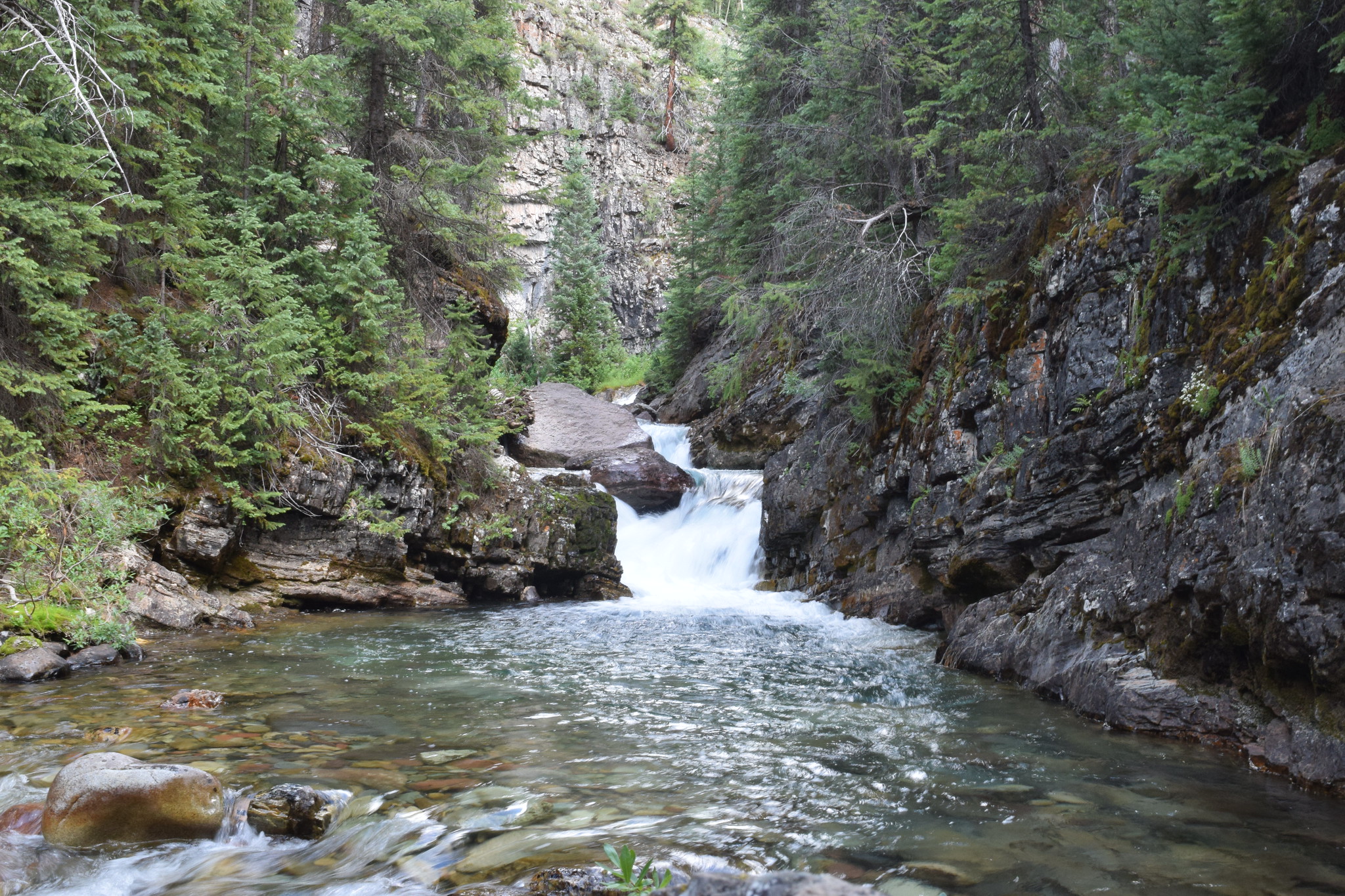
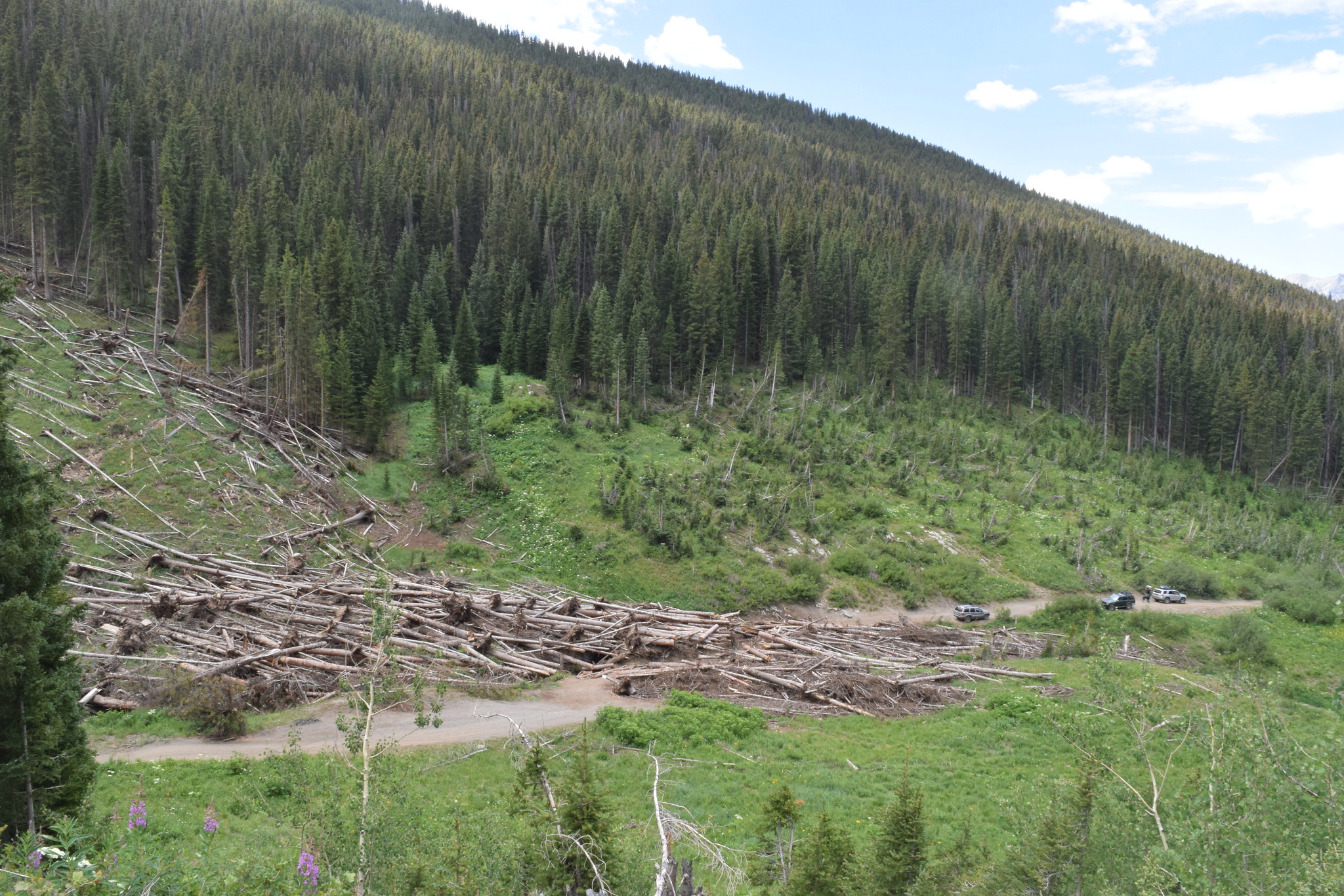
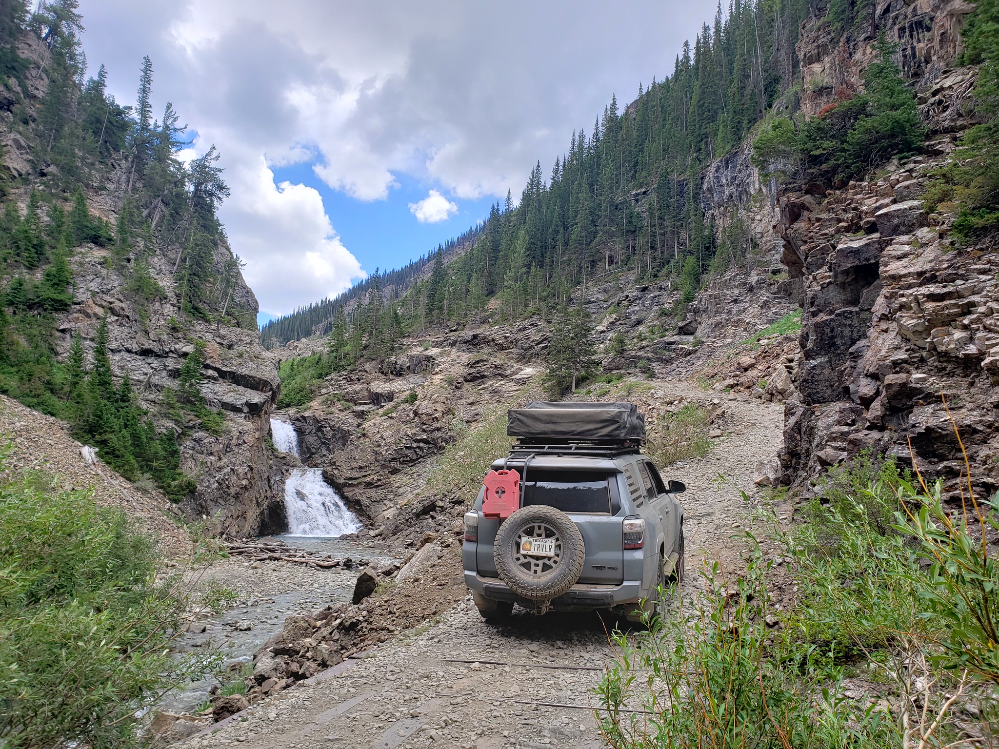
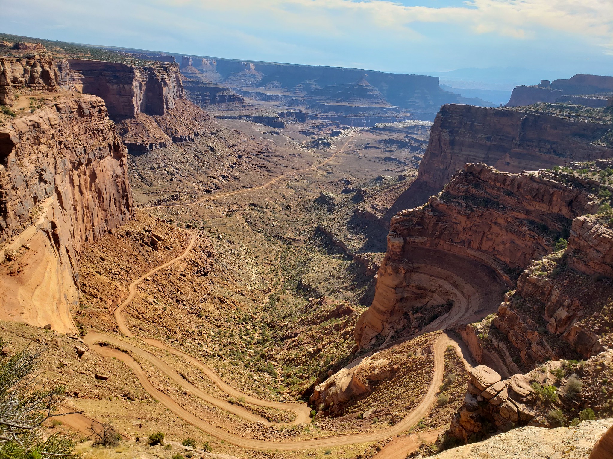
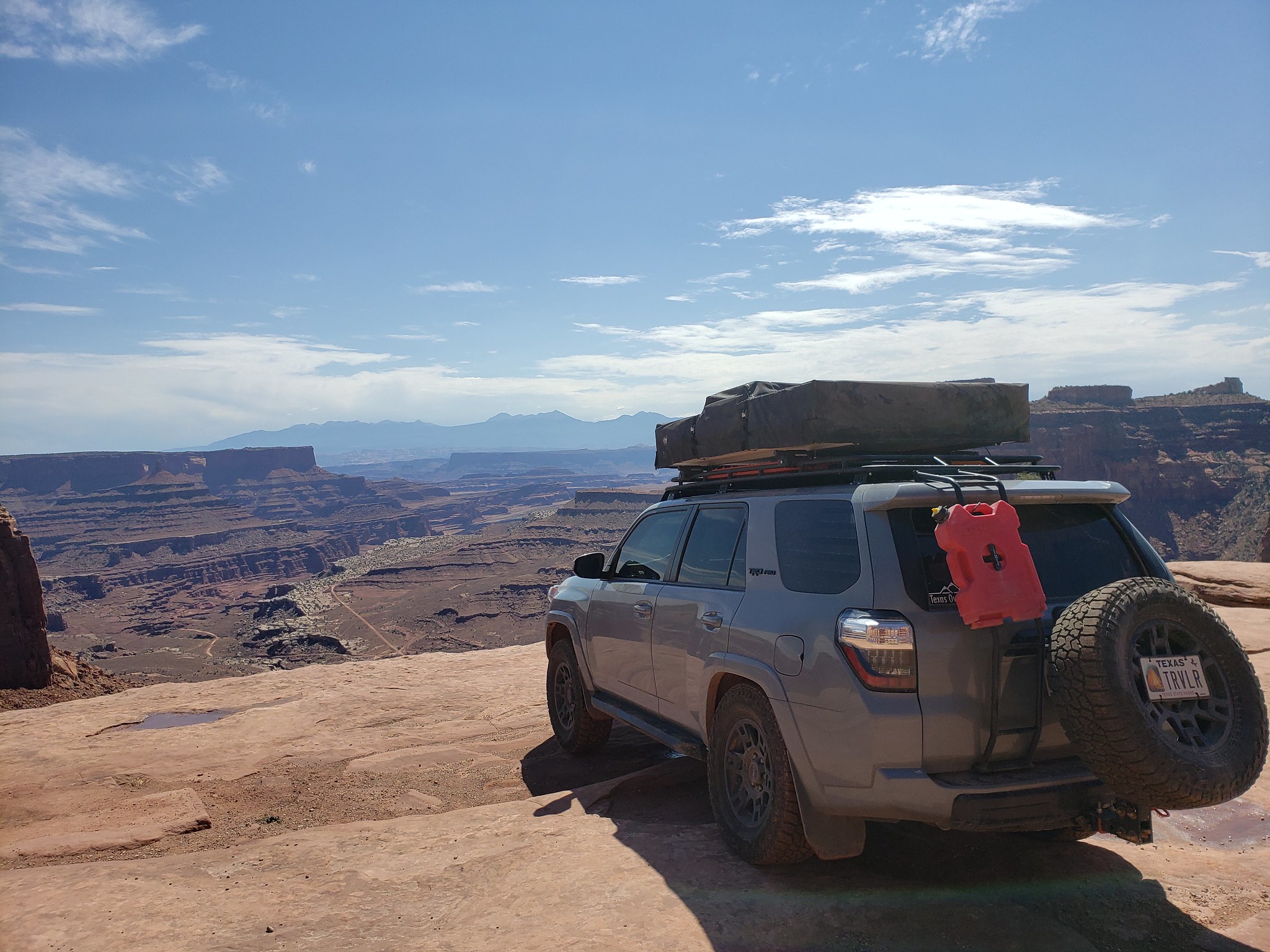
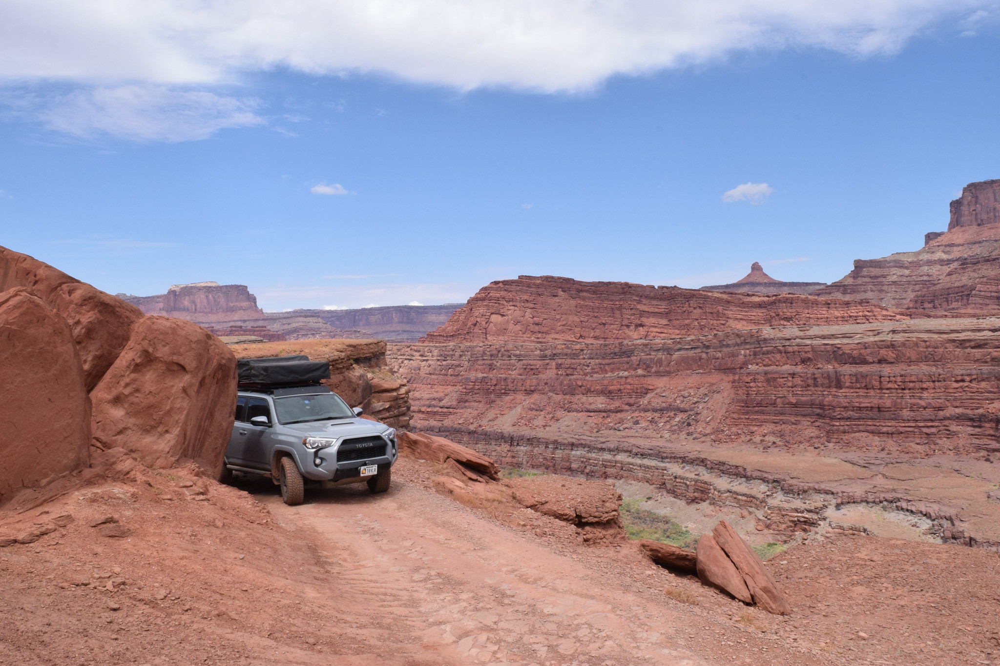
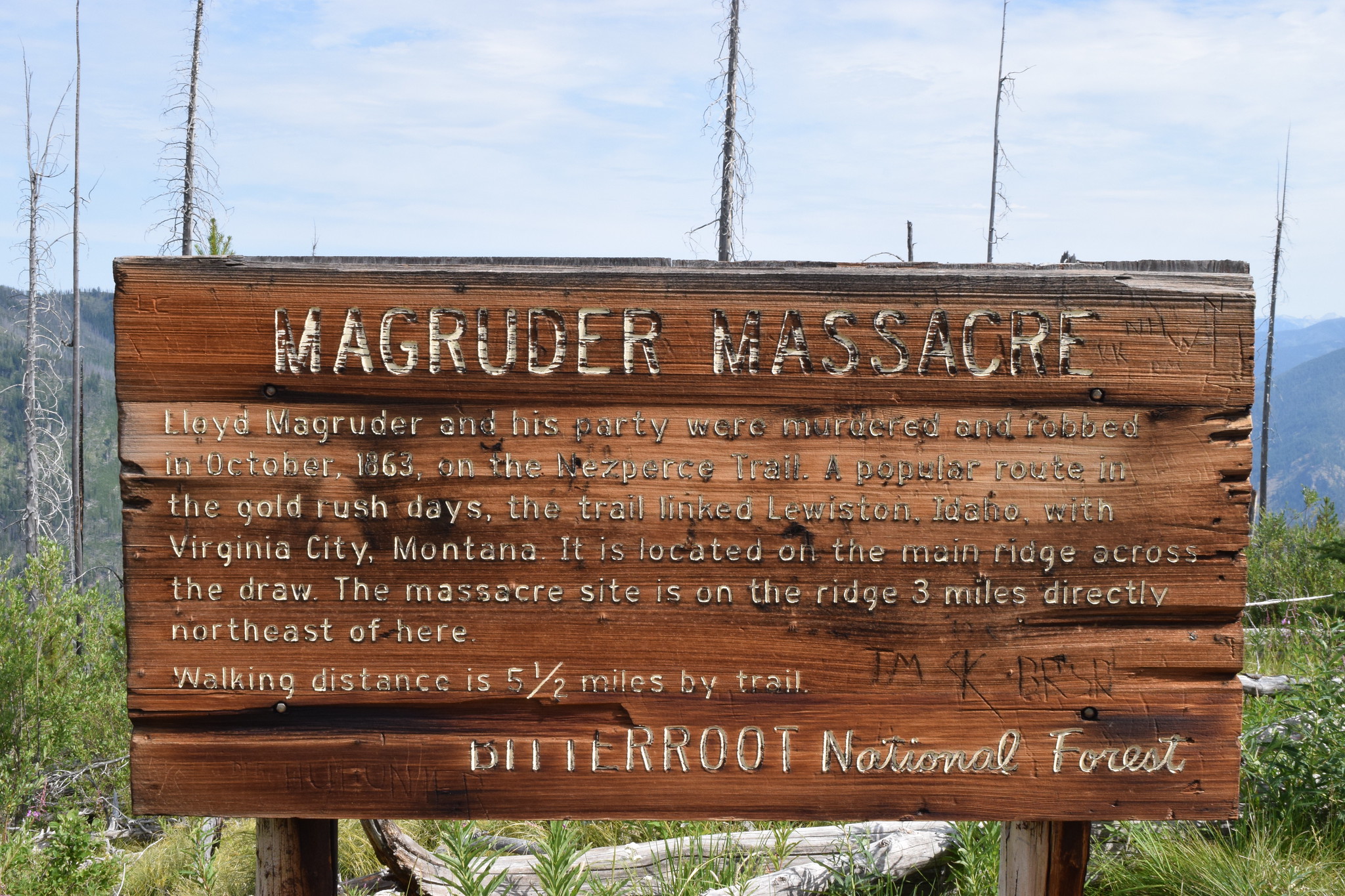
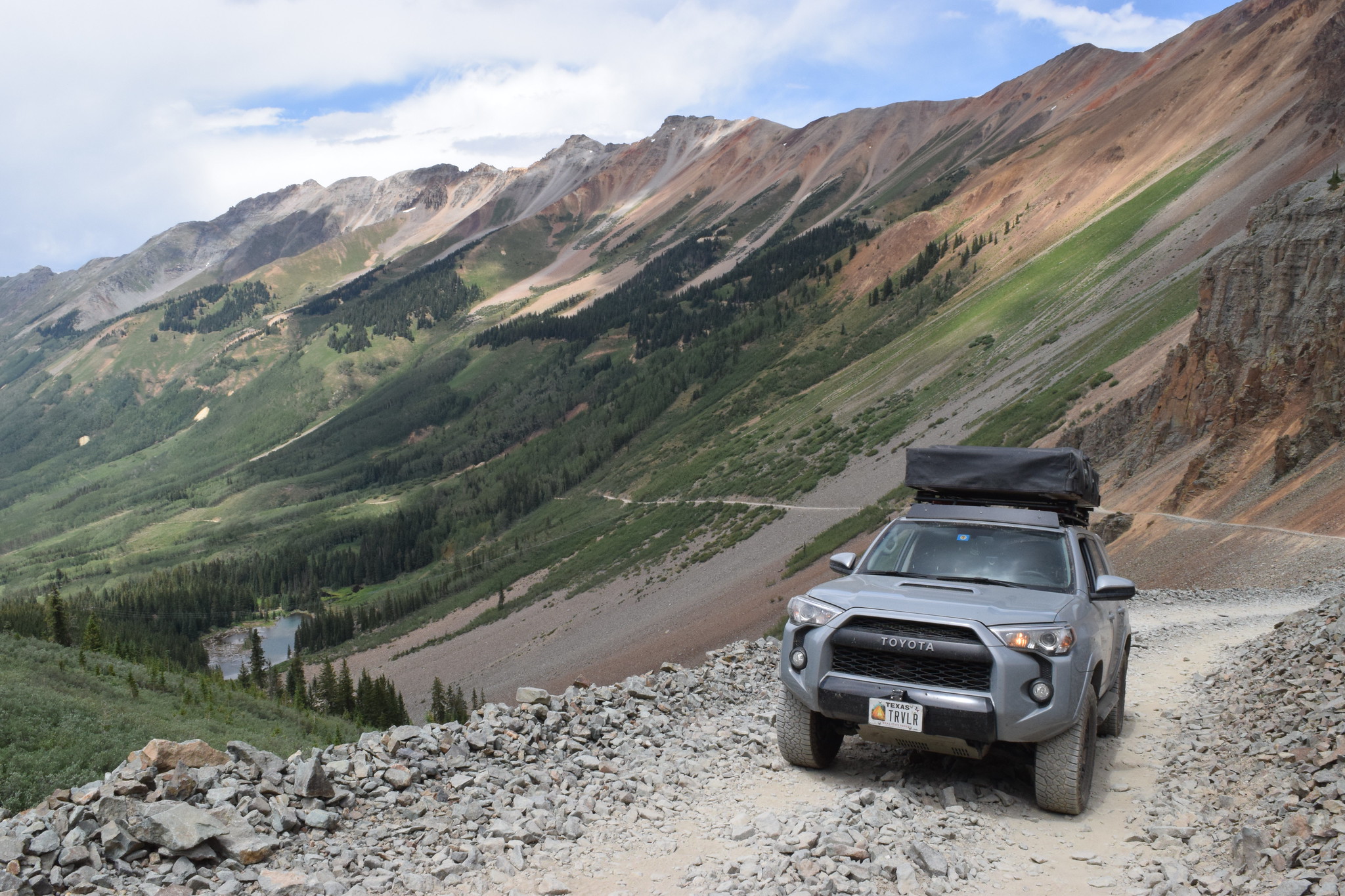
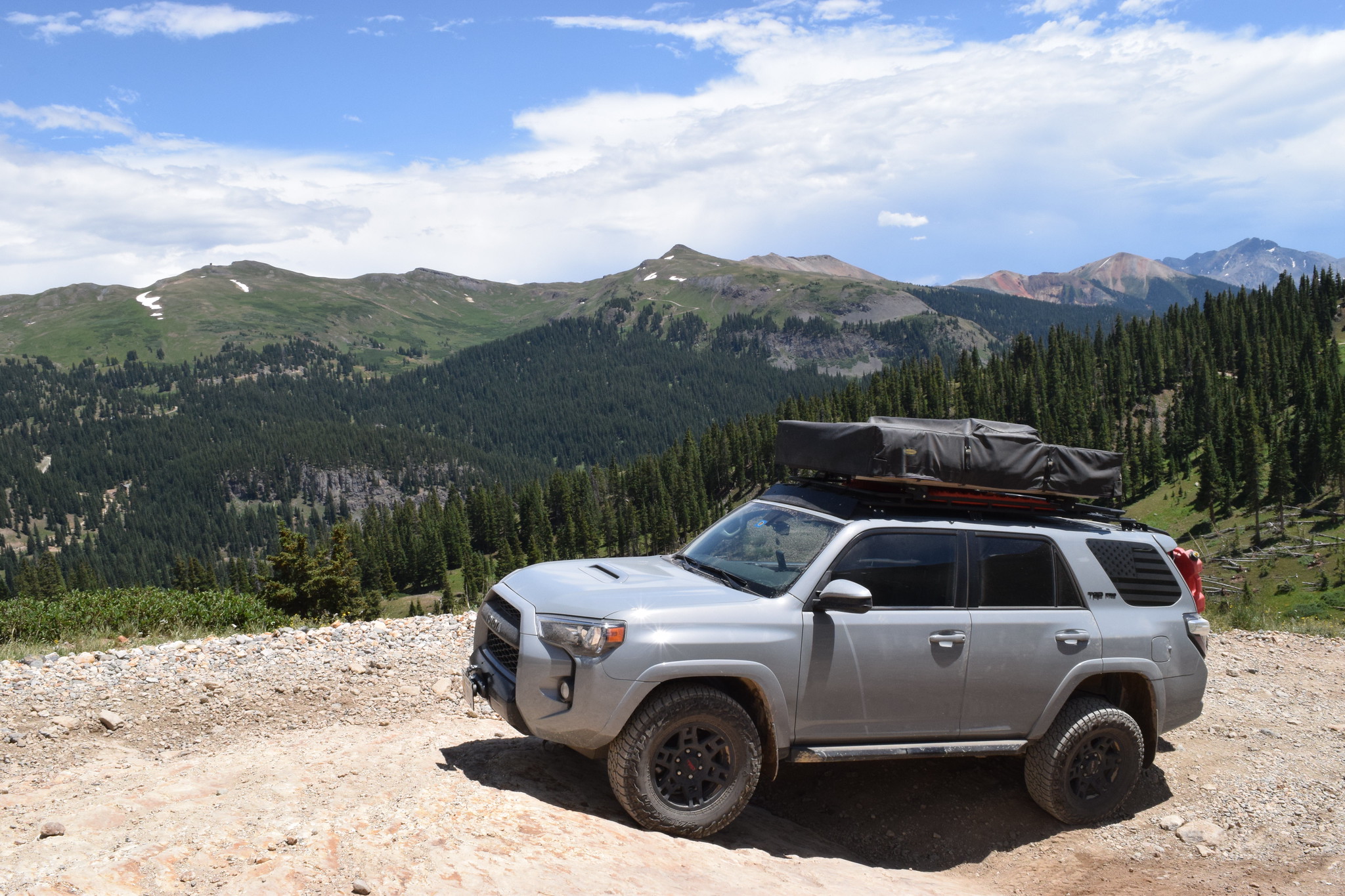
After camp in NM, I moved towards Delores, CO to start part of the Colorado Backcountry Discovery Route. I took the dirt roads from Delores, up to Telluride.

Ophir Pass


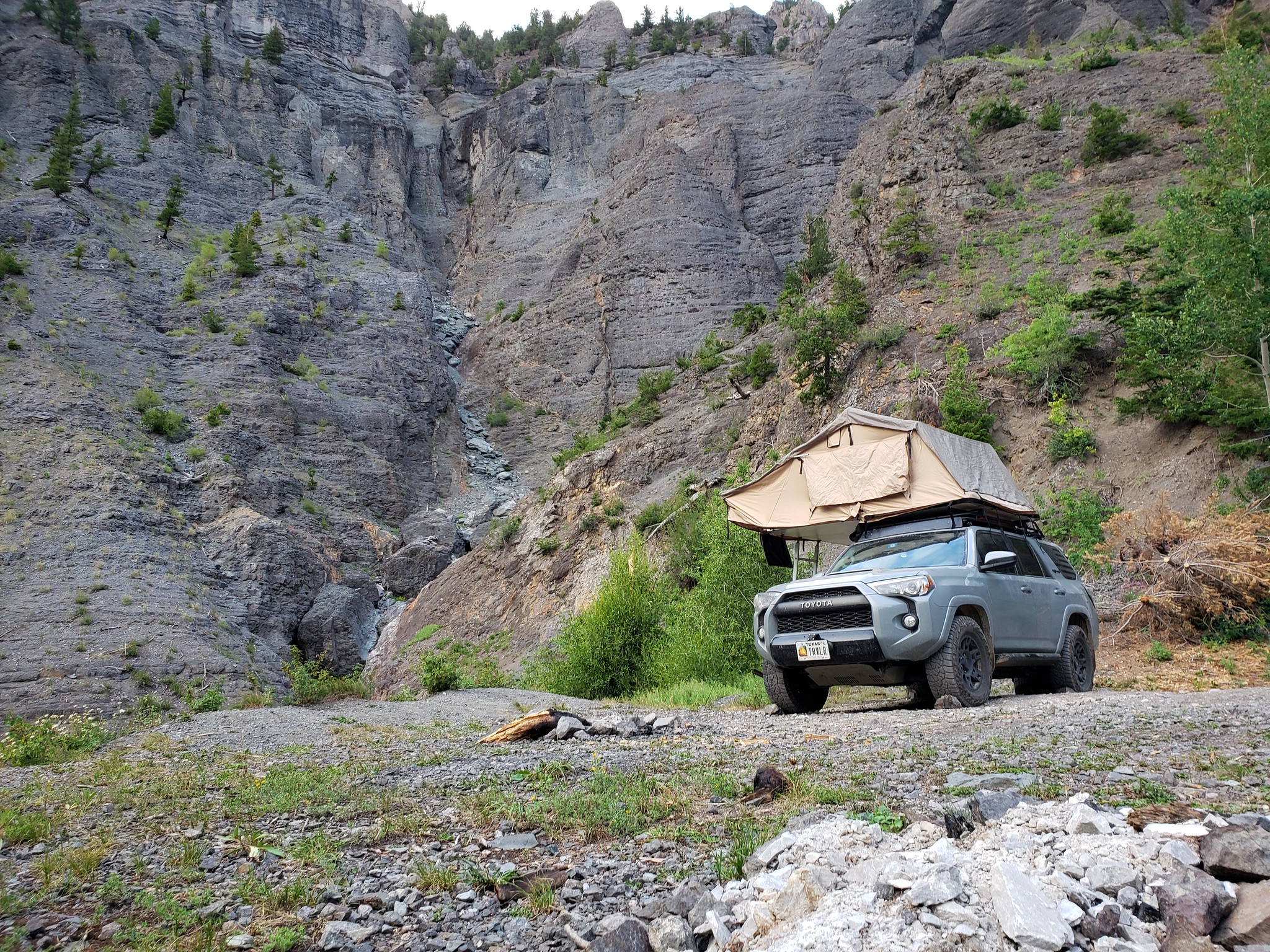
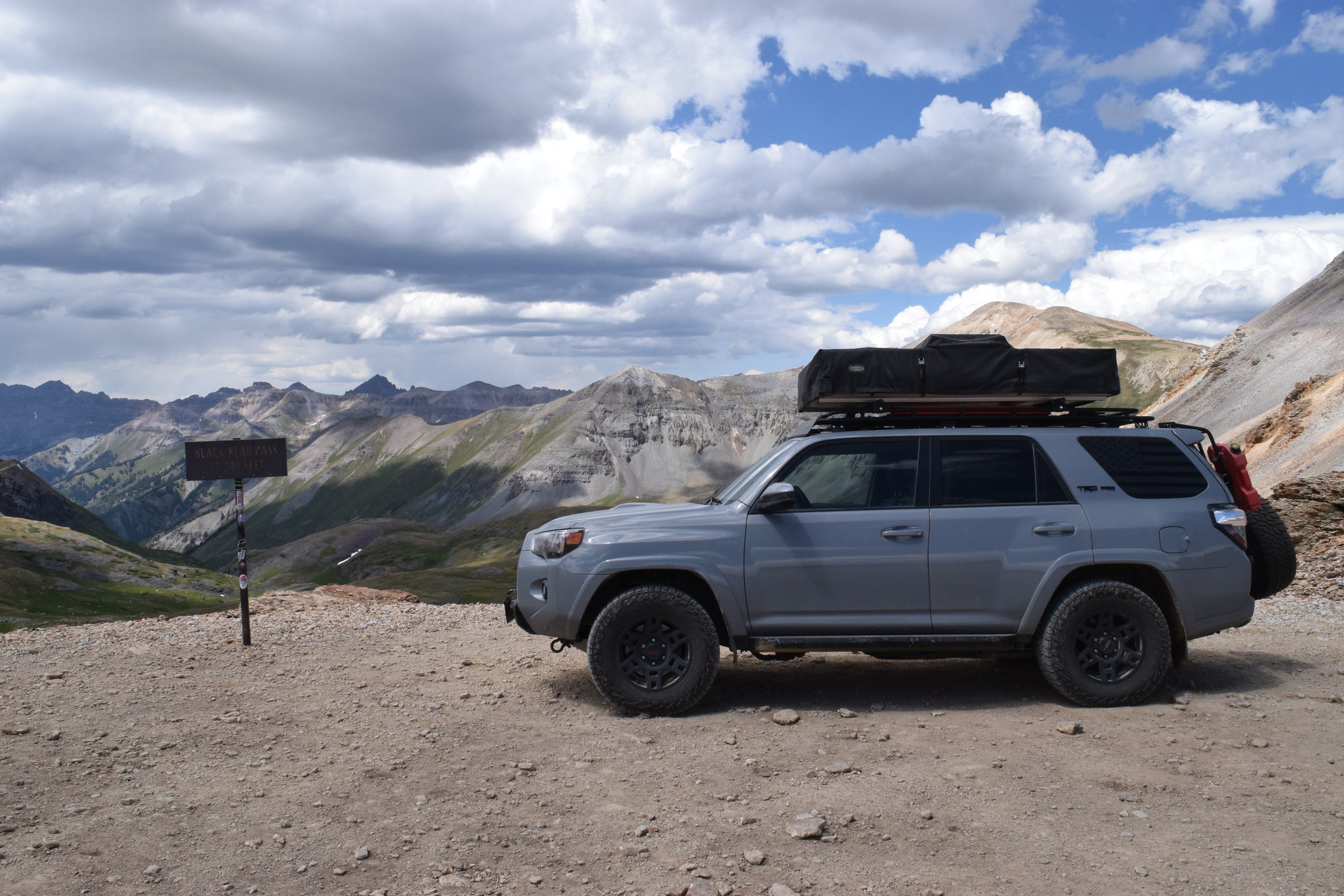
Making my way up to Black Bear Pass again
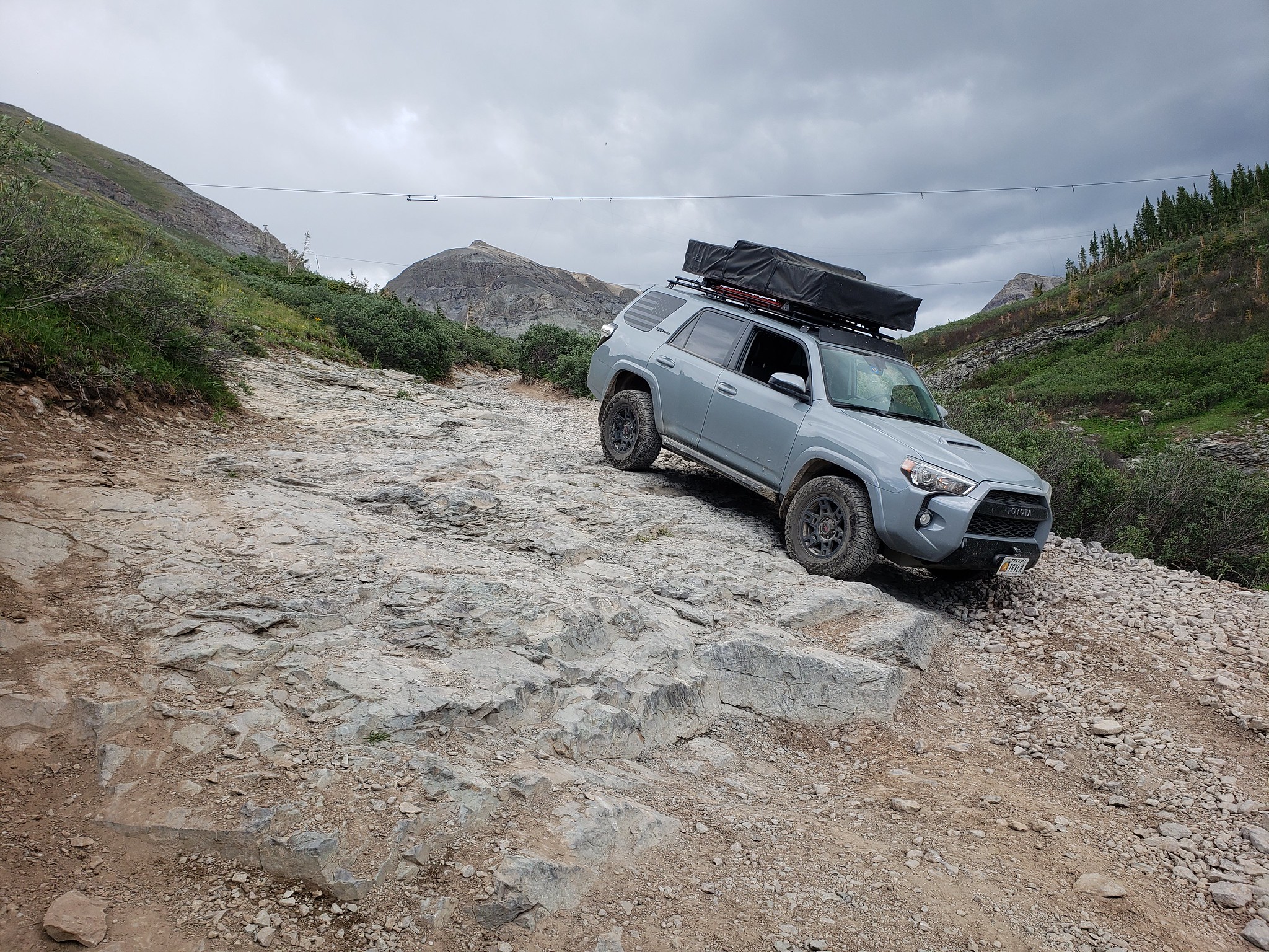


Down the stairs


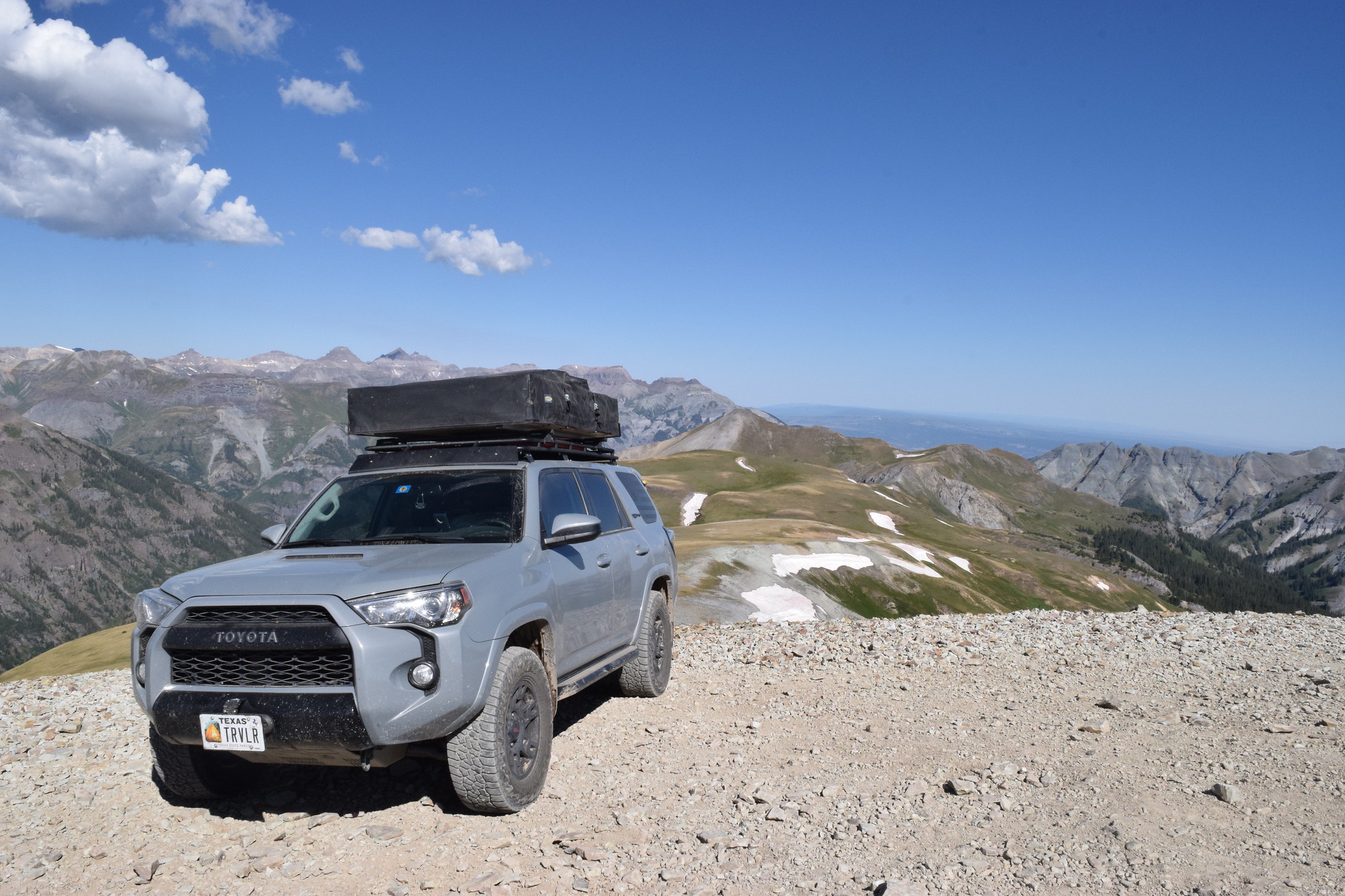
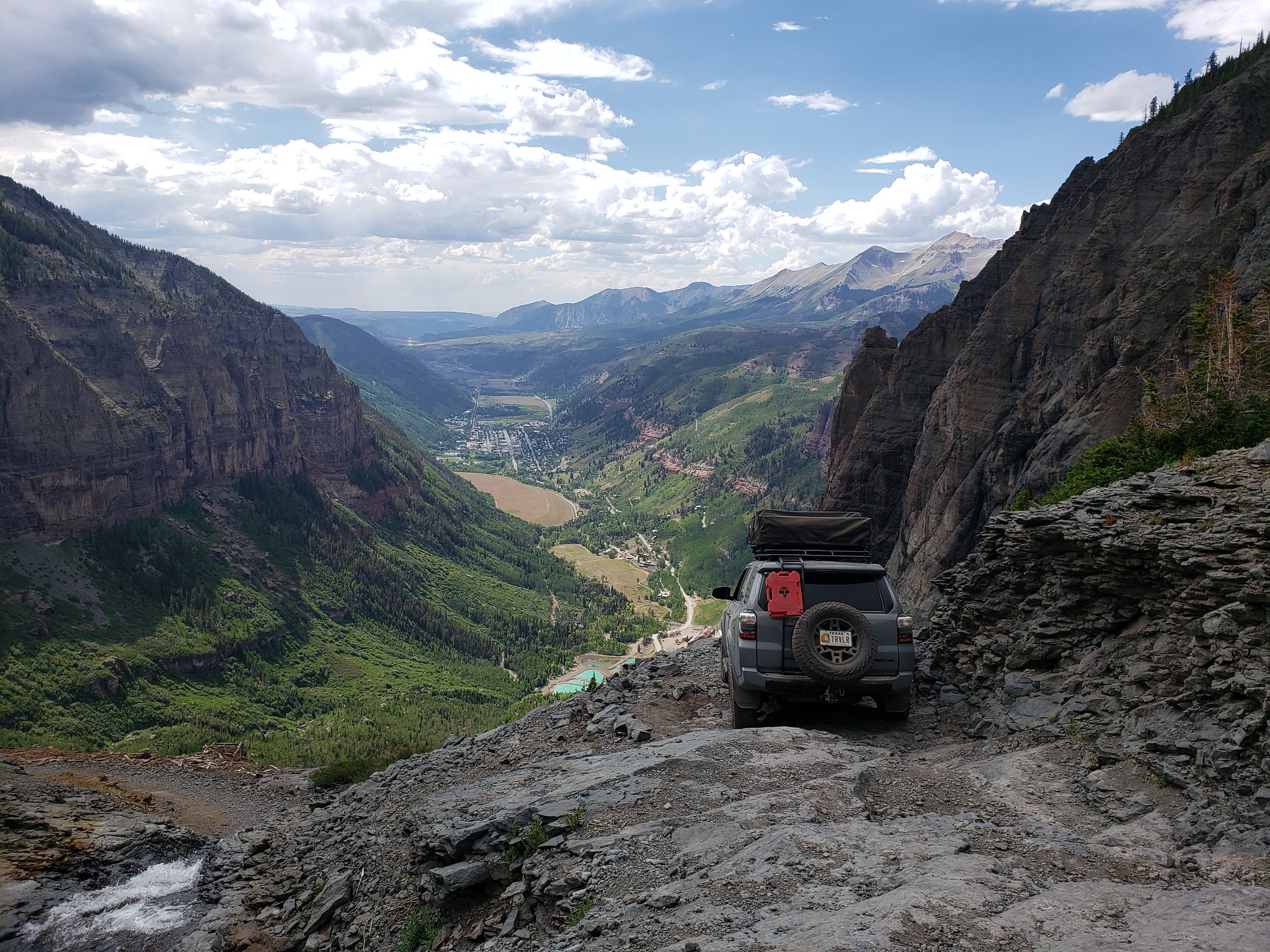
Overlooking Telluride


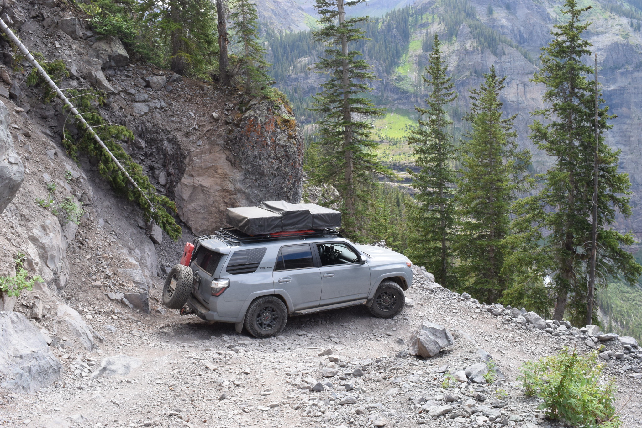
One of the tighter switchbacks


Driving back into town, I noticed a metal rattle/jingling sound coming from the front, passenger wheel well. I pulled over a few times, but never could pin point the noise. I finally made it to camp, and pulled the wheel off. As I did that, the dust cap fell out of the bore of the wheel. I popped it back on, and didn't have another issue with it.


Easy fix, time to set up camp.


The next morning I made my way out via Mineral Creek, and over to Engineer Pass/Cinnamon Pass.


Gotta stop at the Rocky Mountain Funnel Cake Factory in Silverton every time I pass through.


Found a nice spot outside of Ridgeway to camp. I followed a sedan in for a couple of miles, which was disappointing since I was hoping for a secluded spot. However, they turned back at the first river crossing, and I didn't see anyone after the second crossing.


I left the Ridgeway area, and headed north to Marble. They had huge chunks of marble scattered through "town". I stopped at Slow Groovin' BBQ for lunch, and it was pretty good.
Drove up to the Crystal Mill in Crystal. It was a bumpy, but easy ride.


I decided to take Lead King Basin trail to get out of the area.


Little did I know, about 2 miles from the trail exit, the path was blocked by the destruction of an avalanche.


I turned back and decided to try the Devil's Punchbowl trail.


Just after the trail curves left on the above picture, it gets very jagged with slate rock. I attempted to make my way up it, but due to a multitude of reasons (solo person, solo vehicle, stock vehicle, 24 days remaining in the trip) I decided to back down the hill to a safe spot and turn back. Exiting the way I came in through Marble. I ended up camping somewhere off of Coffee Pot Road.
 
One of my earlier plans was to run the Utah Backcountry Discover Route, but southern Utah in July sounded miserable. I was kept a pretty loose schedule, so I decided to make my way over to Moab. It rained most of the drive over, so when I got there it was ovecast and a magnificent 61* at noon.


I hopped right onto Rainbow Terrace.


Next up was Long Canyon.


Camping off of Gemini Bridges


The next morning I went to my first national park of the trip, Canyonlands. I walked around a little bit, but the temperature was rising today so I hopped back in the car pretty quickly.

Conveniently, Schafer Trail starts just on the inside of Canyonlands NP.


Potash salt creek.


I picked a spot off of BLM road 129 next to the Green River (38.537443, -110.002133)

 
Some (graded) switchbacks on the way back out. Several rusted cars hanging out on the cliff side as a friendly reminder to take it easy.


Later I made my way over to Chicken Corner(s).


This was 7 days into the trip, and at this point I'd only taken a couple of camp showers. I drove up to see some family in Salt Lake City. It was nice to get a real shower in, but I still camped out in the backyard that night.

After breakfast with the family, it was onward to Idaho. I picked Idaho, because I think it doesn't get a lot of love. I had another week before I needed to be in Spokane to pick up my wife, and I could cross most of the state with the Idaho Backcountry Discover Route (IDBDR).

I started the route at Glenns Ferry. The area was crowed around the Anderson Ranch Dam, but began clearing out around the north side.

(43.642385,-115.371830)


Much of the Idaho national forests were impacted by forest fires.


45.747760,-115.297384


Burnt Knob Overlook


MAGRUDER MASSACRE (1863)


Along the Lolo Motorway (46.415718,-115.412488)


North Fork Clearwater River


The Blue Cabin near Wallace, ID is a privately owned cabin that is open to the public on a first come first serve basis. It sleeps up to 6 people, has an antique stove, sink, and shower. The owners leave a note when they plan to occupy it for a few weeks.


A few tunnels near Avery. I love tunnels.


Small falls along the way.


Lunch Tower Lookout


(48.645007,-116.770169)


I woke up the next morning to a mama moose and her calf trotting down the road. My windshield was filthy, so this is the best picture I got of either of them.


Relaxing in the Iron Creek near the abandoned Horse Haven Airfield


Amazingly two weeks passed, and it was already time to head to Spokane. While I was there I got my tires rotated at a local Discount Tire. I grabbed my first hotel of the night, 14 days in, to make sure I wasn't too smelly for her. We left Spokane and made our way to Winthrop. We stopped somewhere along the way for a short hike.
(48.496550,-120.124459)


We hit the road early the next morning for the North Cascades National Park to hike Maple Pass. 7.1 miles, and 2,200' of elevation gain.


We didn't have ferry reservations, but we decided last minute to try to take one from Coupeville to Port Townsend. We arrived with minutes to spare before boarding, and they placed us in the "if we have room" line.


After departing the ferry it was late, so we made our way to Heart o' Hills campground in Olympic National Park for the night. Up early the next morning for a quick walk on the Marymere Falls trail.


After the short hike, we continued on to Rialto Beach to start the descent of our trip along the Pacific Coast Highway (Hwy 101).


Bald Eagle surveying his land.


Hole in the Wall


Ruby Beach


We found a nice riverbed wash and set up camp. As we were sitting around talking, we heard some splashing in the water. We looked up to see two river otters playing around in front of our camp. We had so much fun watching them, we didn't get the camera out until they started swimming away.
47.305806,-123.839200


We packed up camp and made our way to Mount Rainier National Park.


Bear down in the valley, taken through my Galaxy Note 9 and a pair of binoculars as my wife searched for the camera.


Small zoom lens camera photo.


Our Air BnB for the night, did I mention my wife likes me better when I'm not stinky?


The next morning we drove back to the coast to check out Cape Disappointment. I'll be honest, it lived up to it's name. The trail around it was kind of fun, with some old bunkers. But the actual trail to the cape was closed by the Coast Guard. We moved onto Astoria, OR (home of The Goonies) for lunch, and then Columbia Beach to see the Peter Iredale shipwreck.


Next up was Cannon Beach for Haystack Rock in Ecola State Park (4x4 beach race in The Goonies where the XJ dusts everyone).


Silly seal on a buoy.


COIVD caused some closures, and we ended up having to skip a day and a half of our plans. So we moved on to the Trail of Ten Falls, about 30 minutes west of Salem.


Walking around Thor's Well near Yachats, OR.


We went a fairly low tide.


On our way out my wife saw a sign for sea lion caves, so we stopped to check it out the next morning. While walking along the board walk, we saw a Gray Whale passing through.


The next day was Crater Lake National Park.


We hiked around Garfield Peak.


Then we continued moving onto Fern Canyon.


And further onto Lassen Volcanic National Park


We made our way down to Lake Tahoe, where we'd planned on kayaking. However, due to COVID, we weren't able to get any kayaks. We camped just south of LT (38.794566,-119.930950), in hopes to get a kayak early the next morning, but no luck. Our schedule was a day or so off at this point due to closures.

We decided to push on towards Yosemite, and camped near Lee Vinning. You can see Mono Lake in the background. IT doesn't have any outlets, so it has a very high salt content. We walked around the shore and checked out the tufas. (38.101915,-119.064402)


We woke to a chilly mid 40*s and drove over to Yosemite National Park, where we hiked the Sentinel Dome.


Half Dome in the background


Atop Taft Point and The Fissures.


Most of the water was dry in the area, including Yosemite Falls.


With just a few days remaining, we checked out the Redwoods National Park/State Forest, Kings Canyon National Park, and Sequoia National Park. My sister drove over from Los Angeles to hang out for a day/night with us.

The General Sherman tree is the world's largest tree, by volume (not height, or width). 275' tall, 36' base.


"The House"


Check those cool pants.


Large Sequoia tree struck by lightening


We camped (36.069252, -118.534488), but I forgot to snap a picture. I'm sure I missed some pictures, and switched up my days, but after 28 days and 9,000 miles things started to get a bit mixed up. The next morning we pushed to Albuquerque, NM, and then back home to Fort Worth, TX. Although it wasn't the Alaska trip I'd planned (looking at you COVID), we had a blast.
 
G Beasley said:
Awesome shots! What site or service do you use for the back country route finding?

I use a hodgepodge of things. I use Google Docs so that my wife, friends, and I can all view and edit things on the go. Then we can share the link with family so they know where we are while we're gone. The Backcountry Discover Routes are fully mapped out by others, primarily for adventure bikes, but 4x4s do fine. (https://ridebdr.com/).

I'll bounce around various forums (Expedition Portal, Overland Bound, model specific, etc). and various FB groups (Overlanding USA, "insert state name" Overland, model specific, etc.)

I primarily map using downloaded Google Maps, but also use Google Earth, GAIA, BackCountry Navigation (app) and just downloaded onX Offroad (app).

Camping I use https://freecampsites.net/ , iOverlander (app).

https://www.alltrails.com/ for hiking trails.


https://www.helpavetshine.us/help-a-vet-shine
Top